Wildfires are a distressing fact of life in the Rocky Mountains, and some years are worse than others. 2020 stands as the worst season ever for northern Colorado.
As I write this post, two massive wildfires are burning in our area. The Cameron Peak fire, currently at nearly 200 square miles, and the Mullen fire at 267 square miles are leaving giant burn scars that will (hopefully) recover, but not fully in my lifetime. Short term repercussions are many, including loss of homes, livelihoods, and wildlife habitat, as well as threats to water quality.
It probably goes without saying that hiking and other recreational activities in the affected areas have come to a halt for now. Luckily, we were able to complete three day hikes ‘up the Poudre’ (as the locals say) this summer prior to the Cameron Peak fire erupting on August 13th.
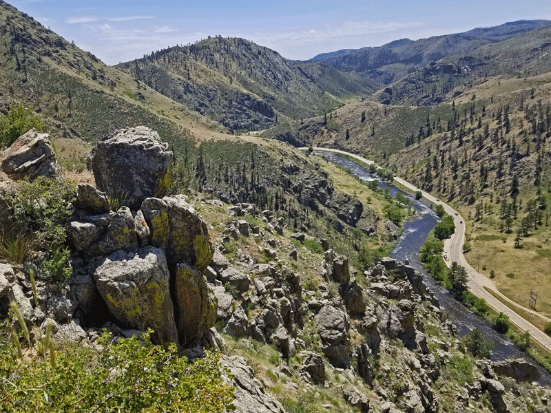
Gateway Natural Area 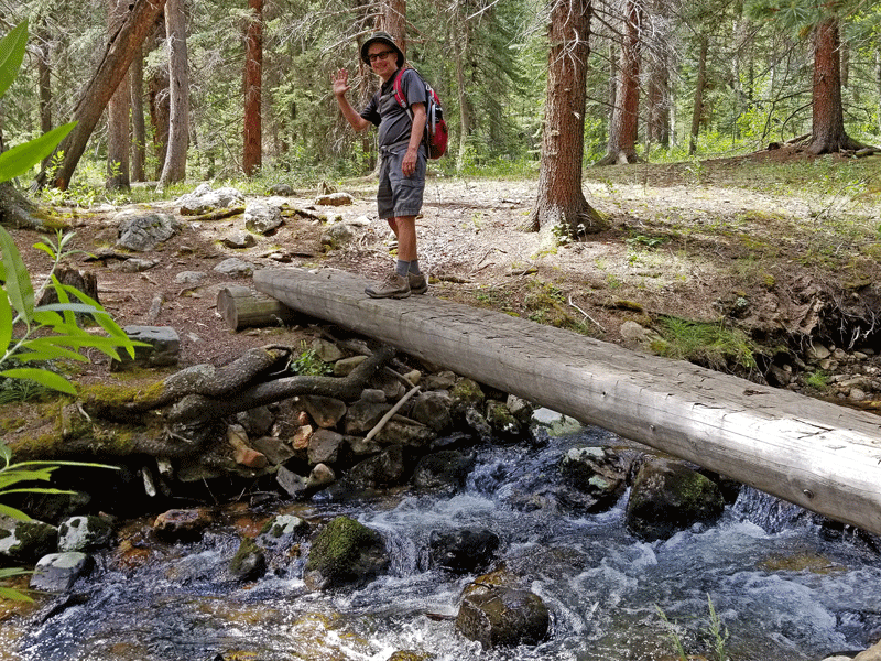
Bill on Little Beaver Creek trail 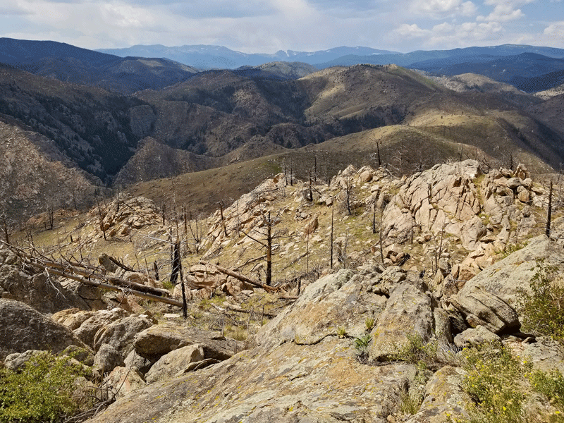
View from Mount McConnel summit
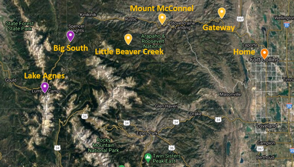
In addition to pinpointing the location of those three trails, the map below uses purple markers to identify a couple of hikes that were planned but didn’t materialize. More about that in a minute . . . .
The 40-mile long glacier-formed Poudre Canyon features daunting cliffs and steep rock walls, along with an abundance of recreational opportunities, including multi-use trails, rock-climbing areas, and numerous National Forest Service campgrounds and picnic areas.
The crown jewel of the canyon is the Cache la Poudre River, Colorado’s only federally-designated Wild and Scenic River. With its origin near the Continental Divide in Rocky Mountain National Park, the Poudre rushes downhill through the canyon, creating world-class whitewater for kayakers and rafters with five species of trout for fishing aficionados.
Since moving to Colorado 36 years ago, the Poudre Canyon has been our preferred ‘go to’ spot for all types of outdoor activities. There are other great options, of course, but the Poudre is right on our doorstep, so it’s not surprising that the three trails in this post were not new to us. I guess you could say they are oldies, but goodies.
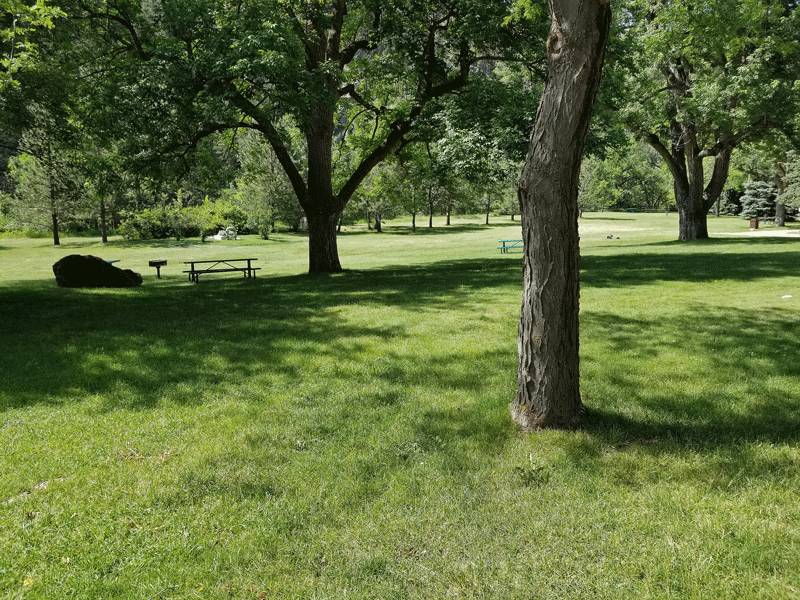
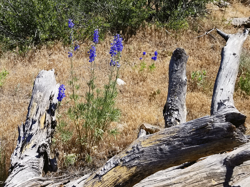
Gateway Natural Area (June)
Located at the point where the North Fork of the Cache la Poudre River flows into the main branch, this small natural area was the site of the primary water treatment plant for the City of Fort Collins from the early 1900s until the late 1980s.
It features a manicured park-like area for picnics and lawn games, with easy access to the river for fishing, kayaking, or just relaxing.

Three short hikes gave us a chance to stretch our legs and explore the surrounding terrain. The first was a short trek up to a scenic overlook.

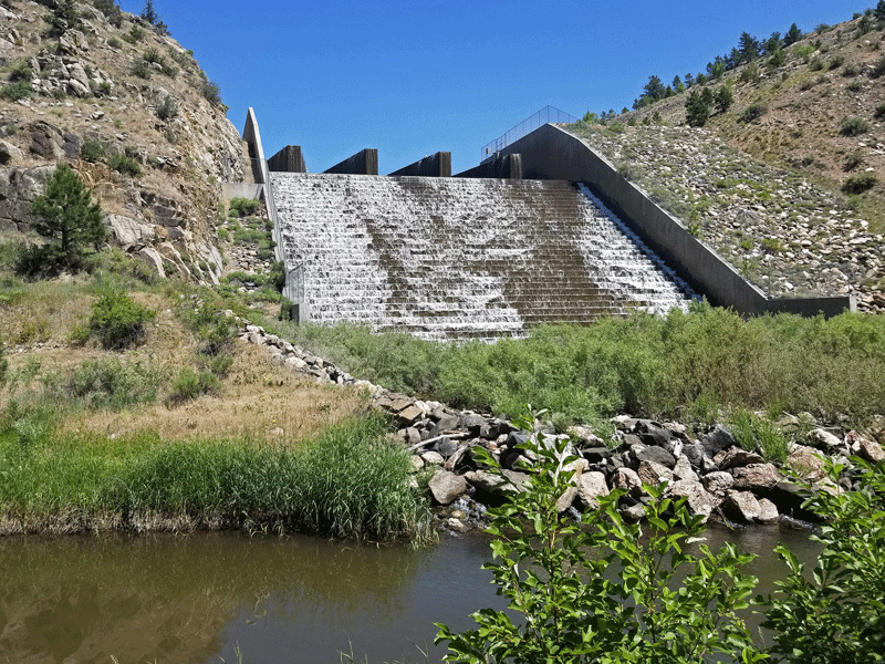
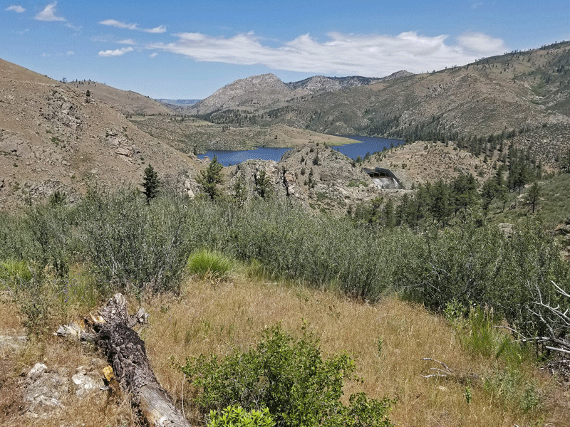
It was a good warm up, but nothing special. The second hike took us to Seaman Reservoir, which provides water storage for the City of Greeley.

The walk was flat and easy, mostly paralleling the North Fork of the Poudre, with interesting rock formations along the way.

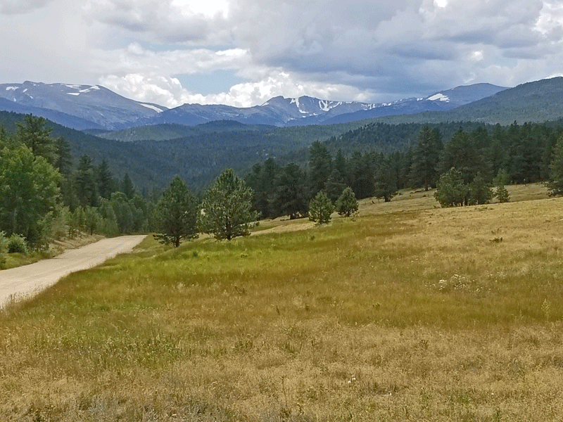
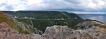
The third trail, Black Powder, was the steepest and most scenic, with nice views of the reservoir on the way up and expansive views of the canyon at the top.
View overlooking Seaman Reservoir 
View overlooking the Poudre River as it flows downhill through the canyon
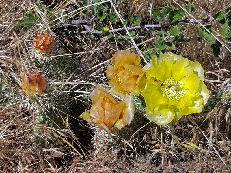
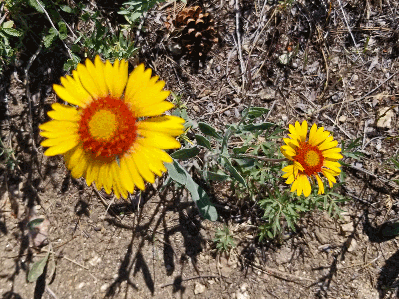
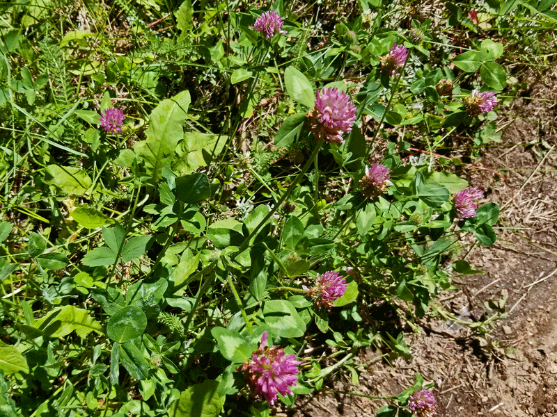
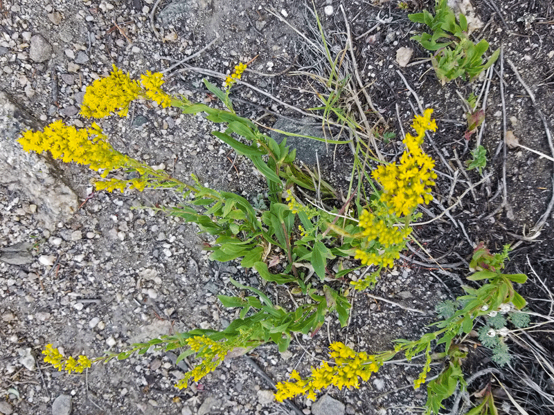
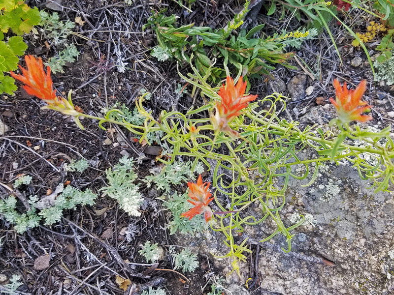
As always, I found a few wildflowers along the way.


Gateway, which hasn’t been in the path of the Cameron Peak fire, is a great option for a nearby hike and picnic.
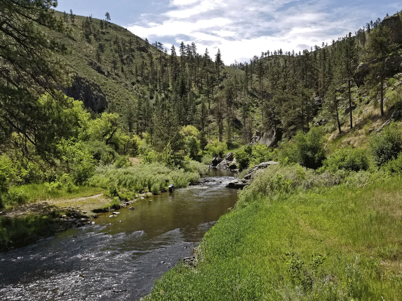
Little Beaver Creek (July)
The trailhead for Little Beaver Creek is a little off the beaten path, and parking spots as well as trail users are scarce. We only ran into a couple of fellow hikers on our trek.
Starting at around 8,500 feet elevation, the path first descends about 400 feet, then meanders along the creek before beginning a steady climb that ends at around 9,000 feet after 5.5 miles. We didn’t go that far, however – an 11 mile roundtrip hike is a little long for us.
Let’s jump to the photos:
A lovely view along the road close to the trailhead 
View at the start of the hike 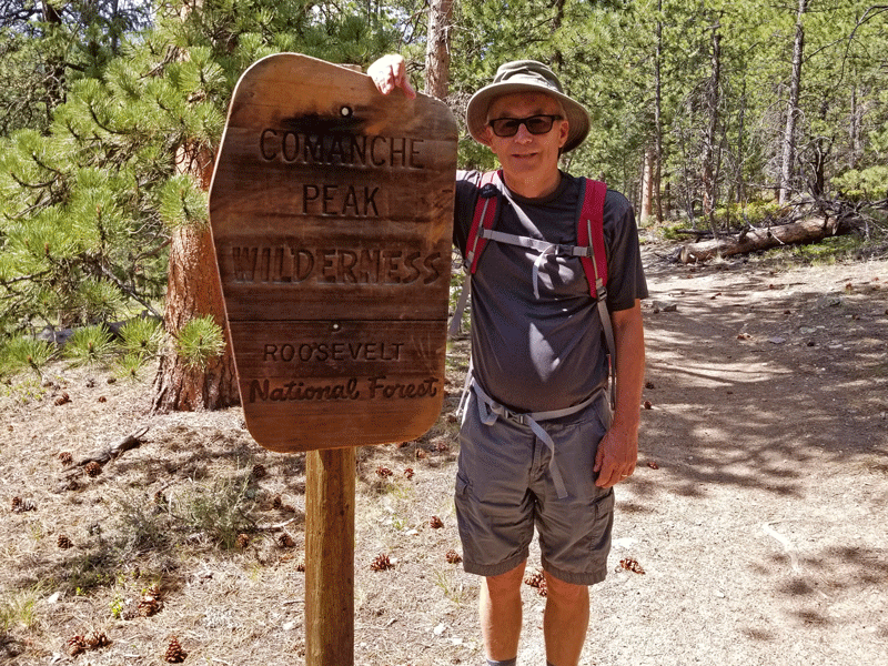
The trail is mostly in the Comanche Peak Wilderness 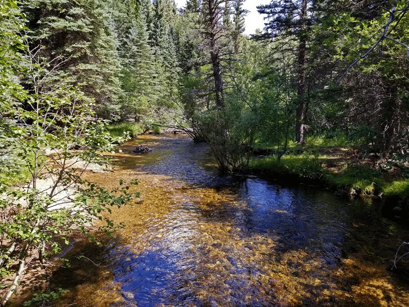
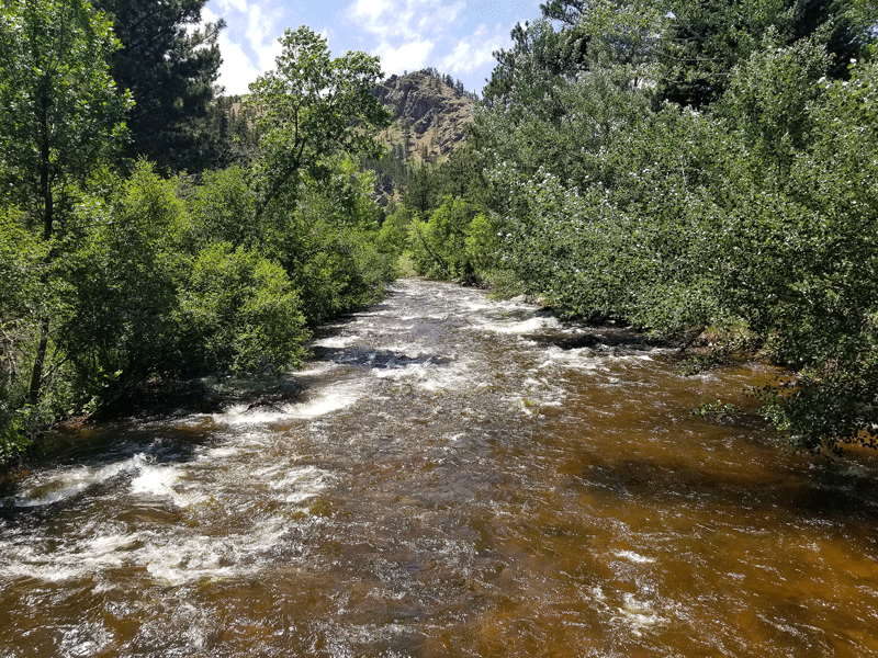
Little Beaver Creek 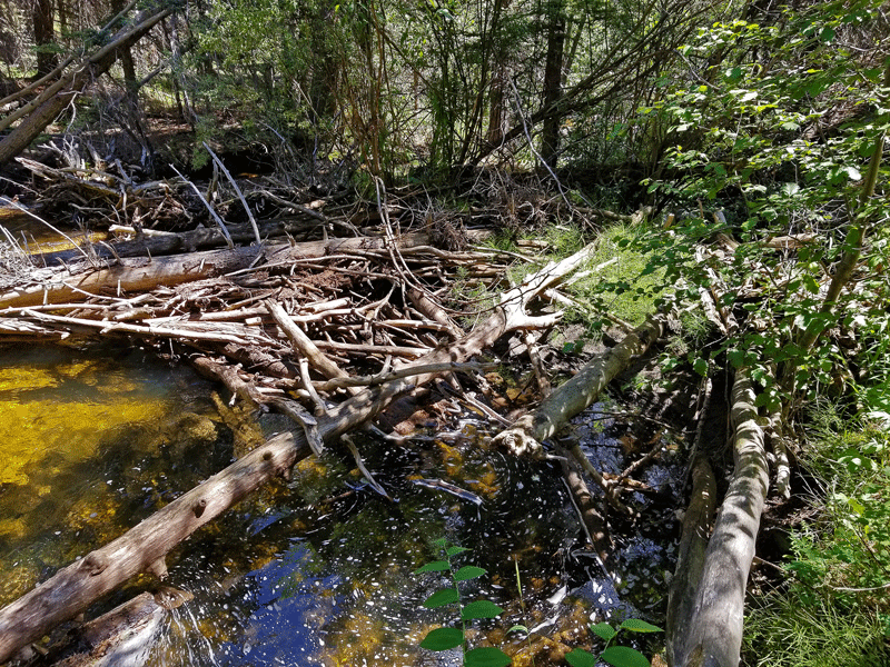
There are indeed beaver dams on the creek 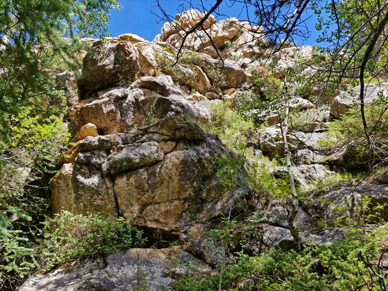
And rocks, of course 
Bill at one of several creek crossings 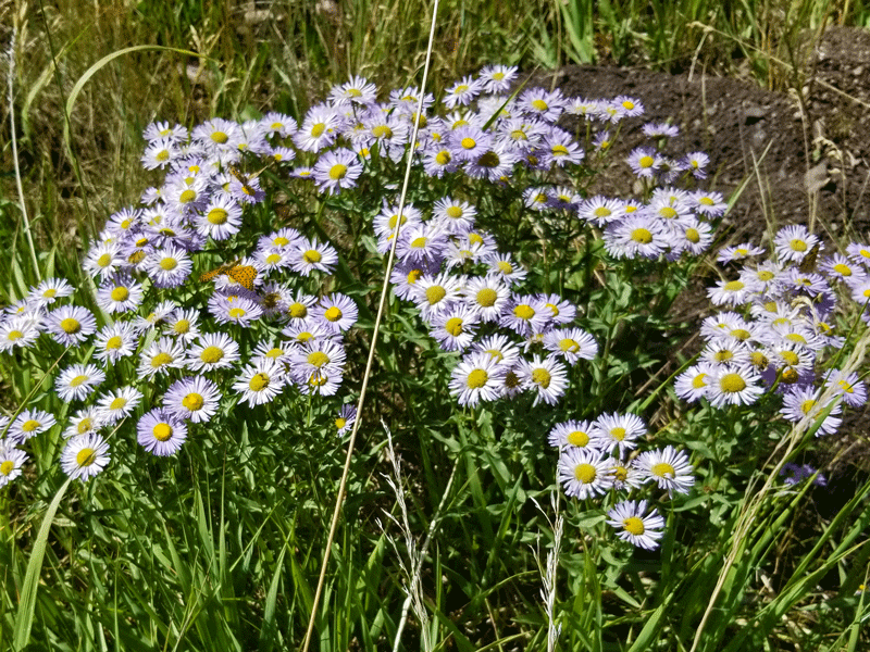
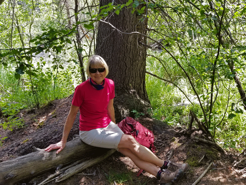
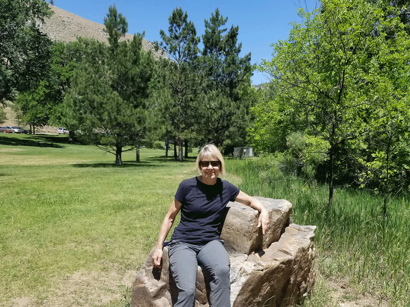
Carol relaxing at our turnaround point
Many of our favorite hikes in the Rockies have a common theme – climb up and up and up until you reach a hilltop summit with wide open and spectacular vistas. Little Beaver Creek doesn’t fall in that category – it’s a hike through a forest, at least on the section that we did, which encourages a more leisurely, peaceful, and introspective experience.
Driving home the back way, we were treated to a large bull moose ambling across the road right in front of the Subaru. He was amazing, and wouldn’t you know, neither of us had a phone handy to snap a photo!
Note: The Little Beaver Creek area sits squarely within the Cameron Peak fire zone, and we presume it has experienced serious damage.
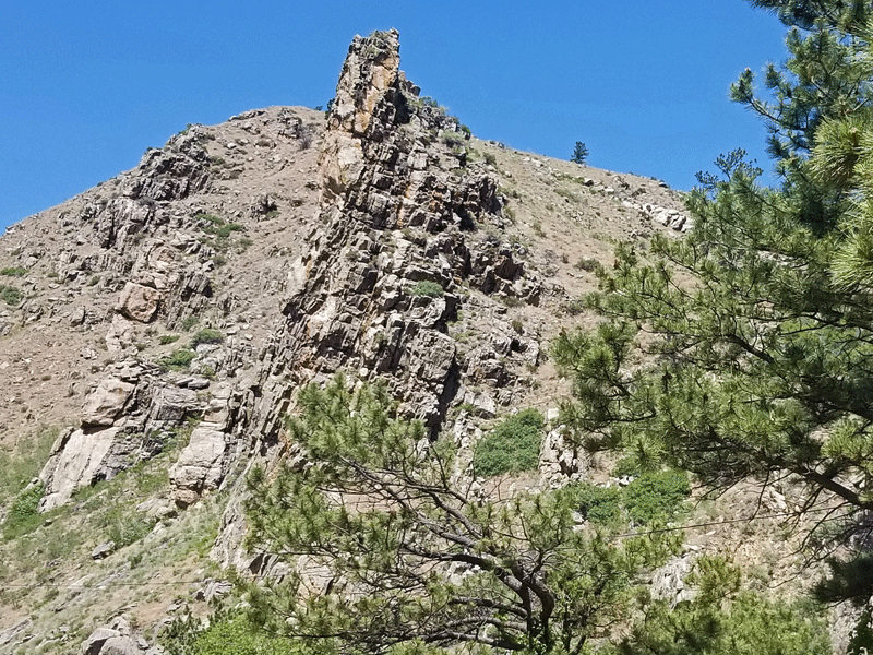
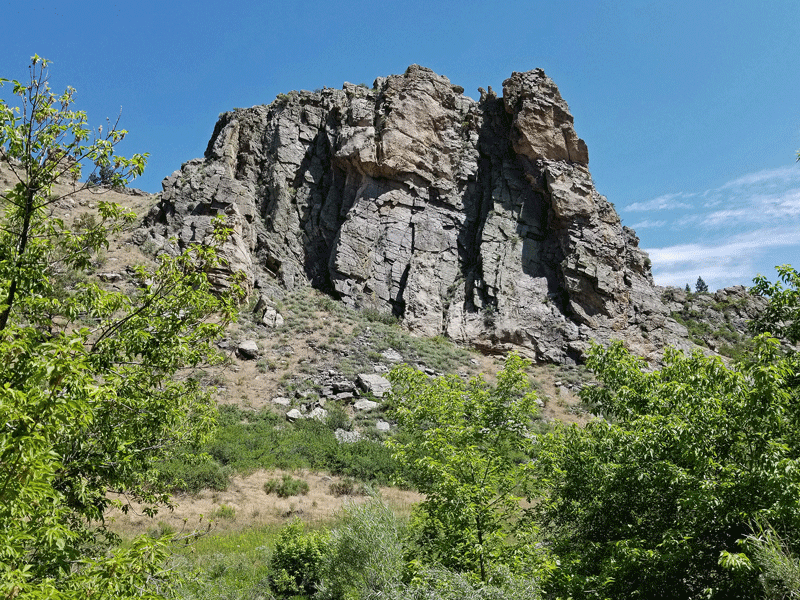
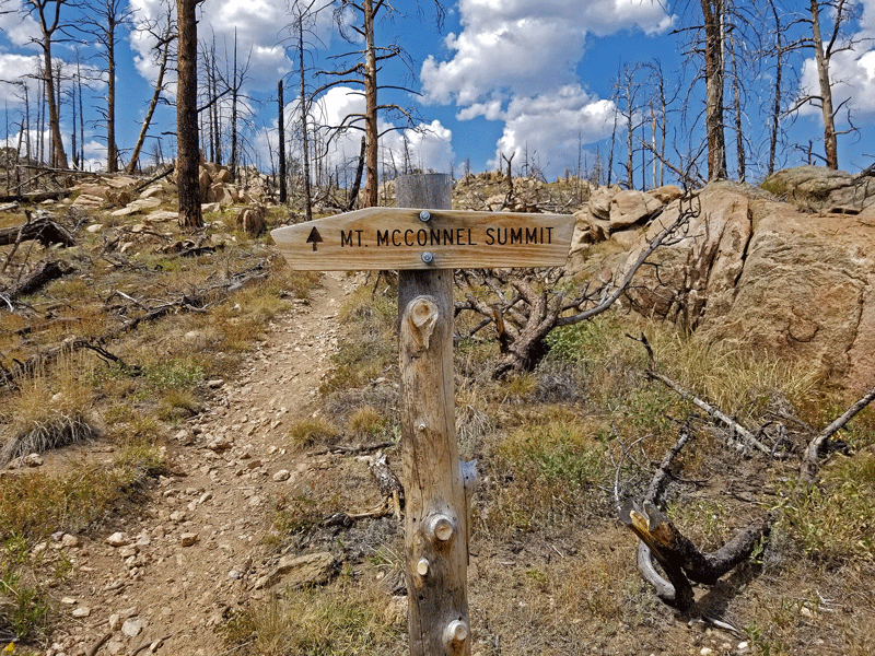
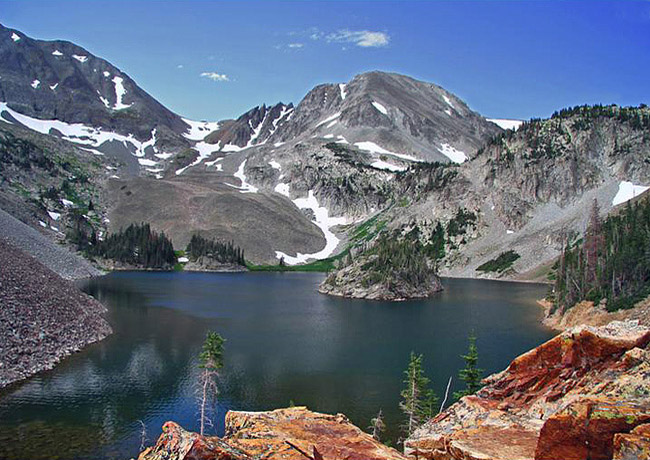
Mount McConnel (August)
Three times I’ve done the Mount McConnel hike with three very different experiences. The first time in 2008, my friend Carolyn and I had a pleasant hike through pretty typical terrain – uphill trek through the forest to a nice overlook with views of the higher peaks in Rocky Mountain National Park. (I searched for a couple of good photos to share but came up empty.)
Then in 2012, the High Park wildfire ravaged that part of the canyon, burning 136 square miles that included the Mount McConnel area. Bill and I, along with friends Gail and Greg, returned a couple of years later and were awestruck by the prolific displays of wildflowers.
Mount McConnel hike with Gail and Greg in 2014
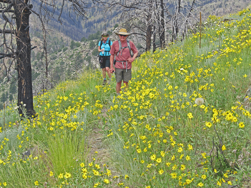
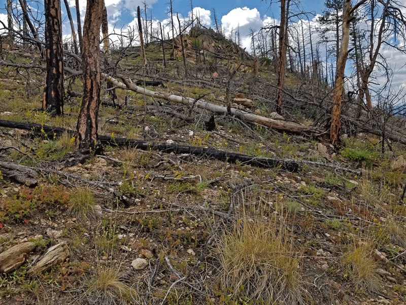
Fast forward another six years, and my return trip this summer yielded a few more surprises. Take a close look at the comparison photos below.

In 2014, the hillside was covered in dead trees 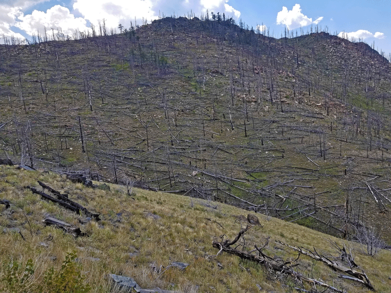
By 2020, most of the dead trees have fallen 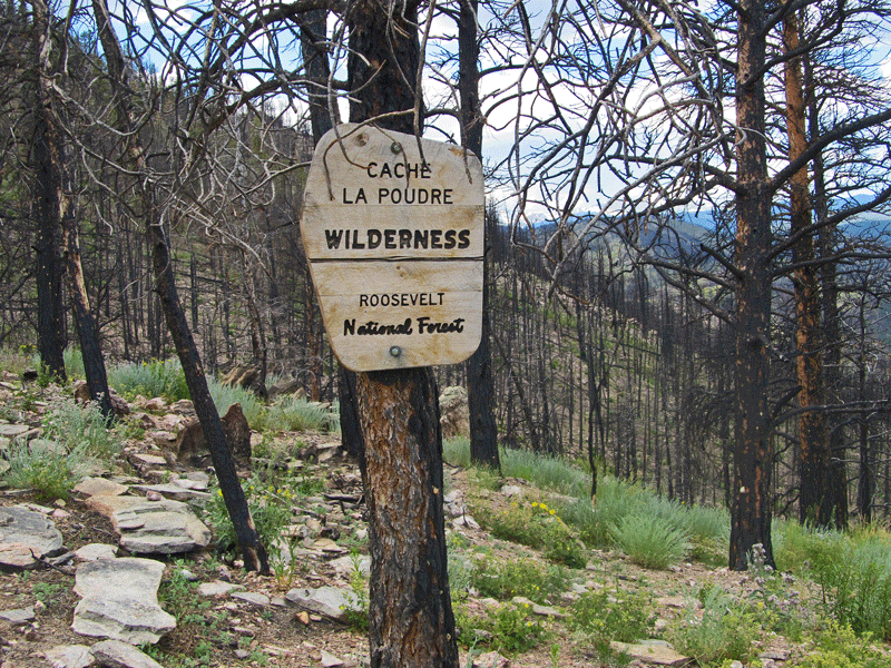
Another view of dead trees from 2014 
But the view is wide open by 2020
Here are a few more photos from my most recent hike.
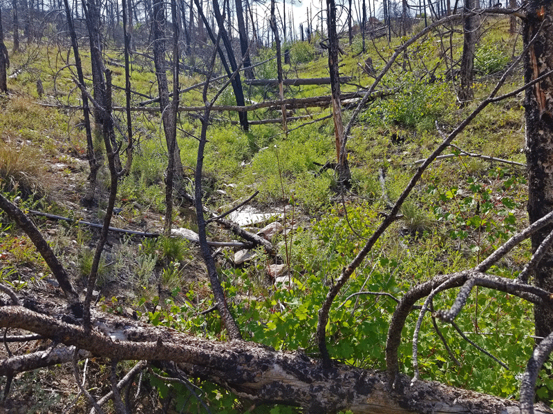
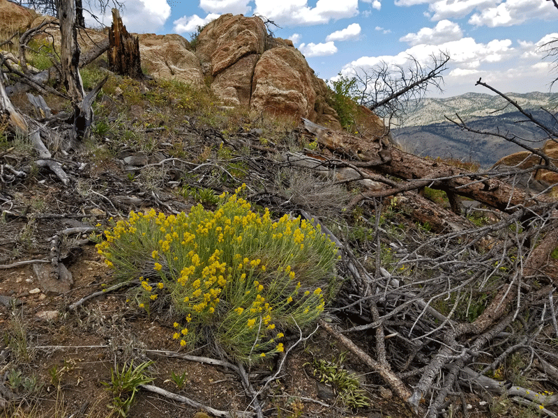
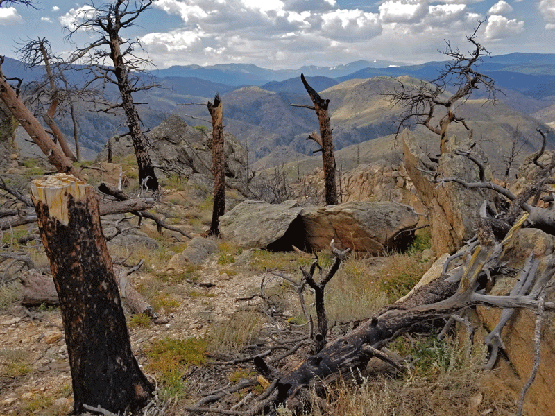
As barren as the terrain appears from a distance, up close it’s a different story. I was excited to see how many young conifers have sprouted along the trail.

Looking forward to checking in on the regrowth process in another six years . . . if I can still make it up the hill by then!
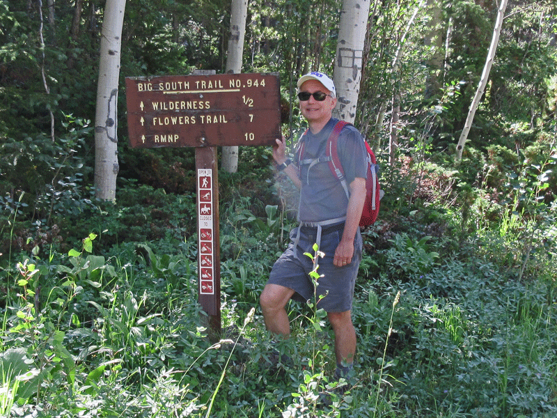
And the 2 hikes that didn’t happen?
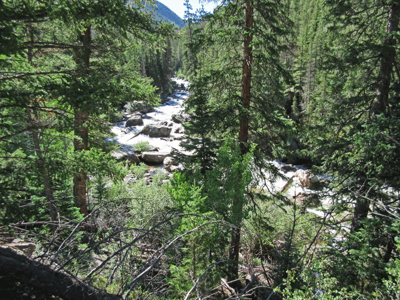
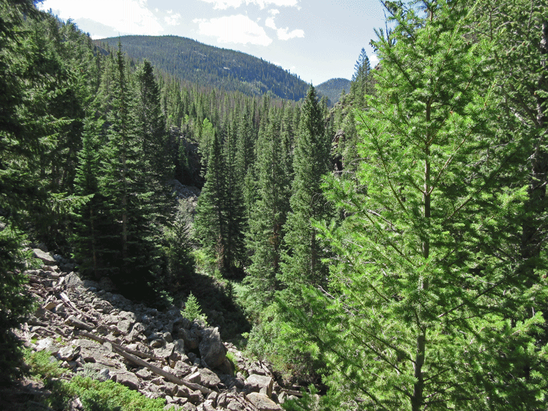
One of our favorite hiking trails, the Big South, was closed and has undoubtedly been decimated by the Cameron Peak fire. It’s an interesting trail that parallels the Cache la Poudre River as it crashes downhill out of the high country.
A handful of photos from a previous hike:

On a less somber note, the other hike that was missing in action this summer was Lake Agnes, one that we had never done, and still haven’t, but not because of the fire.
Pretty, huh? It was to be a solo hike for me, but after two hours of driving through the canyon and only about 20 minutes from the trailhead, this happened:

There I was, stuck in the middle of nowhere with no cell service and no tire-changing skills. Hiking was off the table for the day, because I had to focus on getting myself and the car back to town safely.
Everything turned out fine, thanks to the capable assistance of a couple of retired gentlemen returning from a week of fishing and relaxing in the mountains. But that’s a story for another day . . . .
Before I could give it another go, the Cameron Peak fire happened, and the road leading to Lake Agnes closed. It appears, however, that the fire hasn’t affected the immediate area, so perhaps next year.
Wildfires are a distressing fact of life in the Rocky Mountains, and some years are worse than others. 2020 stands as the worst season ever for northern Colorado, and it’s not over yet. Hoping for a few good snowstorms ASAP!


We need to have a call to hear the flat tire story! Yesterday I drove an hour to a peninsula for a (solo) hike and the last 30 minutes was on gravel, no houses, or other drivers in sight. I was nervous about how I would address a flat tire, but I kept going. I was the only person out there all day!
LikeLiked by 1 person
Ahhh hope you brought an emergency flash stick! NZ hiking can be so abandoned…
LikeLiked by 2 people
There was definitely a moment of “what the heck am I going to do now???” But after taking a deep breath and brushing aside that little inner voice saying otherwise, I went to work trying to flag down passing motorists, who were few and far between.
LikeLike
Carol & Bill : Thnx for posting, sad to see the fire damage but still overall a lot of great views of nature surrounding you! Would have been our summer ‘20 area celebrating my bday in June w/ our friends in CO but ahhhh then …. showed up and all plans exposed … stay safe
LikeLike
It’s so nice to hear from you! I’ve been wondering how you and your family are faring during these past months that feel like forever. So sorry to hear about your cancelled trip to Colorado – hopefully one of these days we can look forward to traveling again. Stay safe – keep in touch!
LikeLike
The fires have been tragic this summer. Glad you enjoyed some hiking. Hike while you can! I am fighting a sciatic nerve problem so not walking too much
Sent from my iPhone
>
LikeLike
Enjoying the hiking but would trade all of these warm, sunny days for a few cool, rainy/snowy ones to squash the fires! Very sorry to hear about your sciatic nerve issues – that’s so painful. Hope you’re on the mend.
LikeLike
Such an amazing blog and photos. Loved it. Especially when we can’t go out, blogs like yours help a lot. I am a travel blogger from India. Please have a look at my blog too.
LikeLike