The best thing about hiking in the Phoenix area is that you can. Despite being the 11th largest and 9th fastest growing metro area in the U.S. (according to the 2020 U.S. Census), there are a surprising number of open space options for hiking, horseback riding, or mountain biking just a short drive away from anywhere in the Phoenix area. Not exactly getting away from it all, but a giant step removed from the sights and sounds of urban life.
We ventured into several of these hiking meccas during the course of our visit, and I’m excited to share what we found.
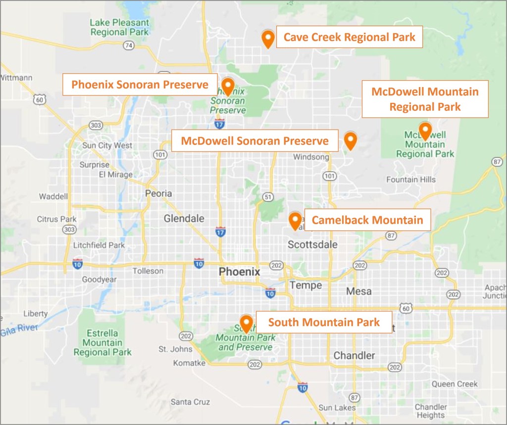
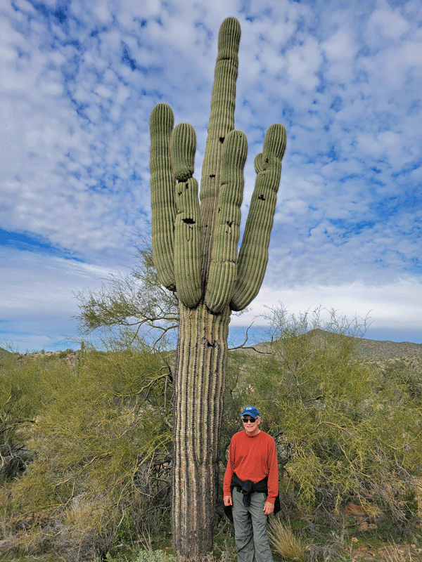
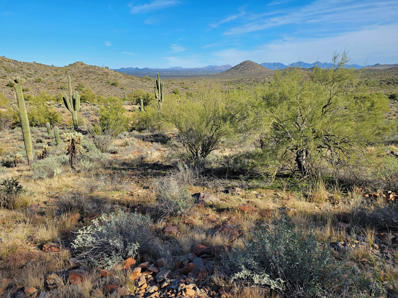
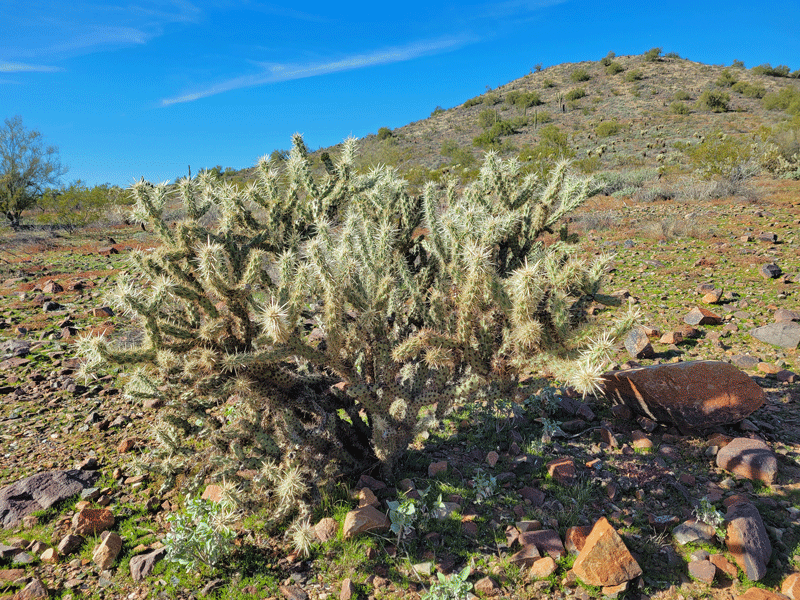
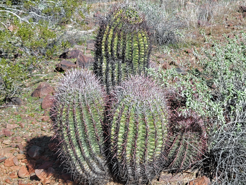
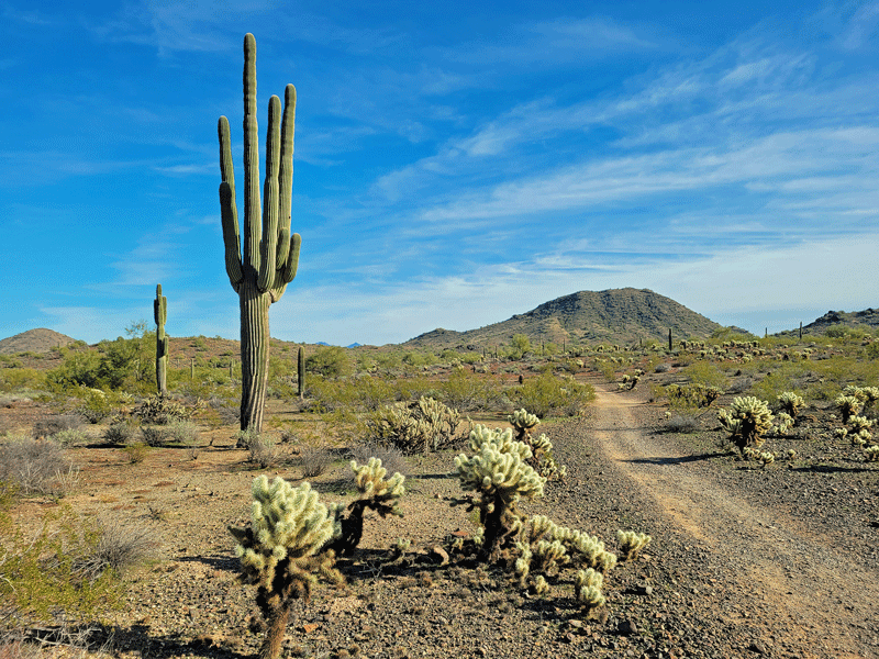
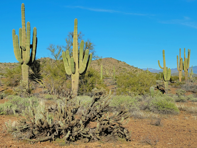
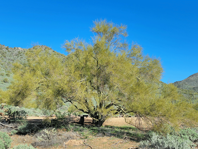
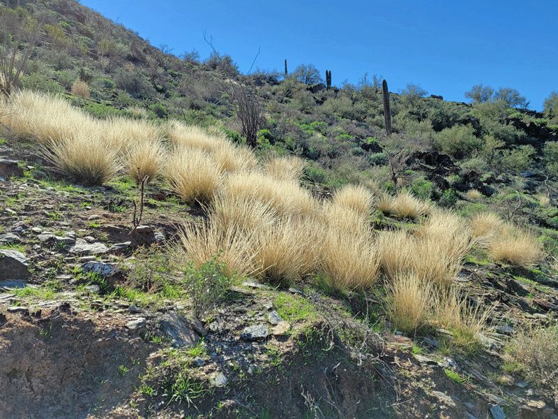
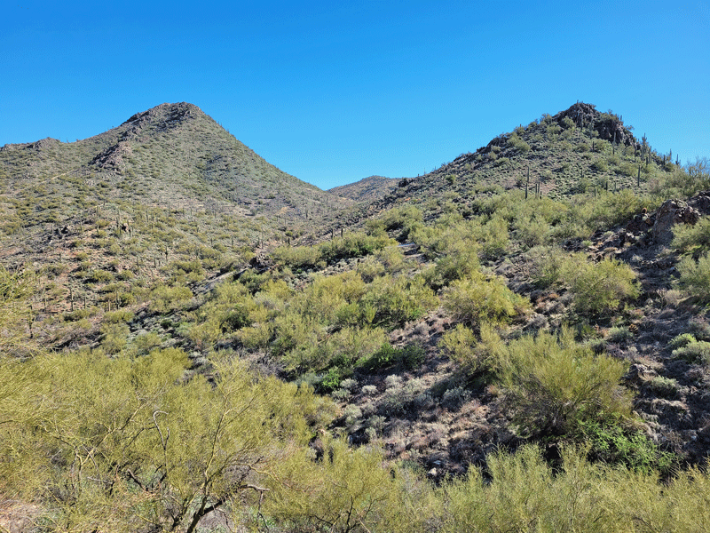
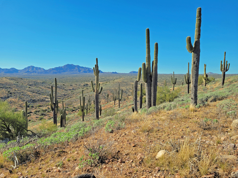
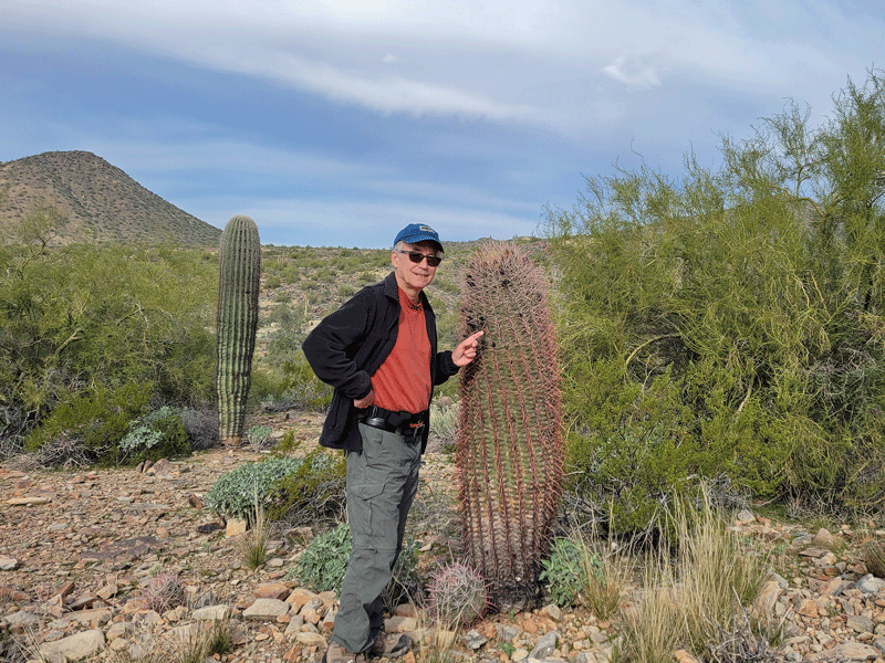
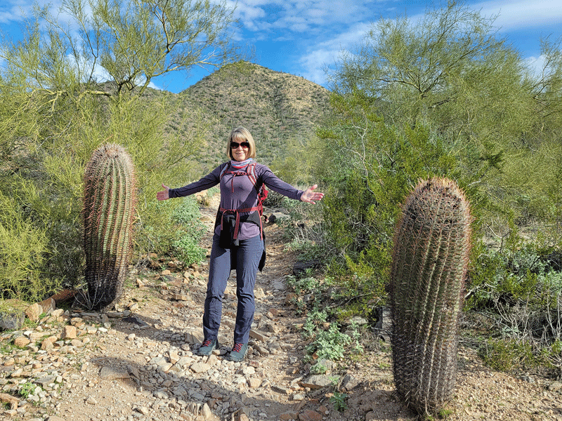
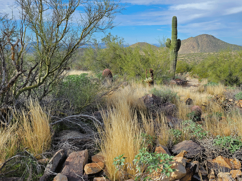
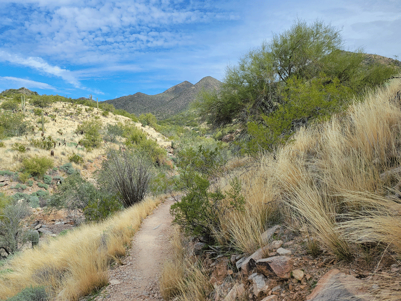
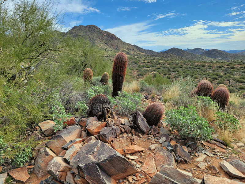
The visual theme for this article is Sonoran desert terrain and vegetation. From start to finish. I hope you like cactus.😎

South Mountain Park & Preserve
Encompassing 16,000 acres, or 25 square miles, South Mountain is the largest municipal park in the U.S., at least according to Wikipedia. There’s no golf course, soccer fields, or playground equipment, but you can hike, bike or ride a horse on 58 miles of trails. For free.
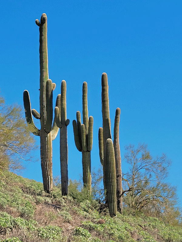
South Mountain is also the oldest park in the Phoenix metro area, dating back to 1924. I found two old photos of my mom at South Mountain in the 1940s. (She was a Kansas girl but spent 2.5 years in Phoenix as a young adult, and it’s where she met my dad.)

Back to the present, Bill and I hiked the Mormon-Hidden Valley Loop Trail – about 4.5 miles.


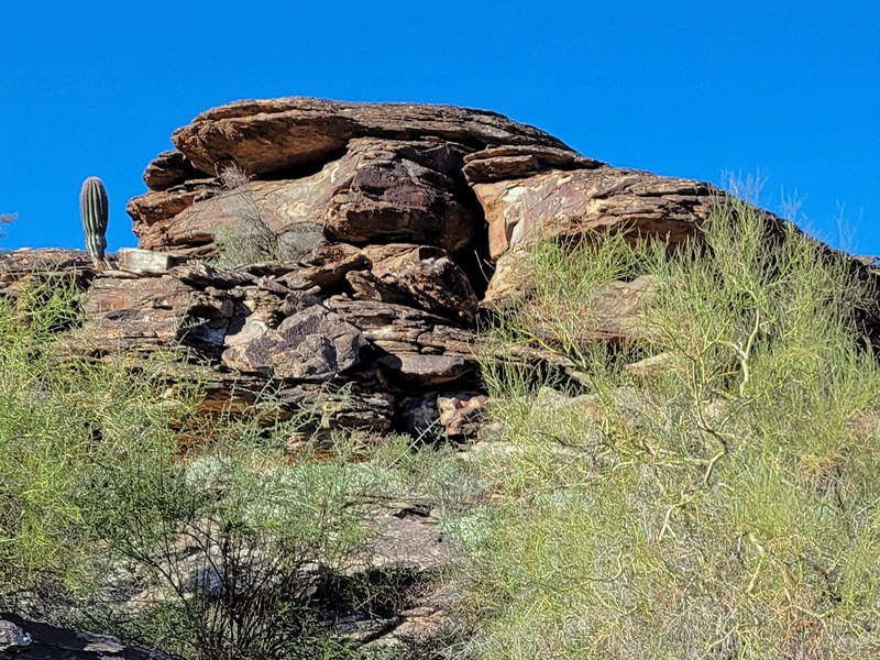

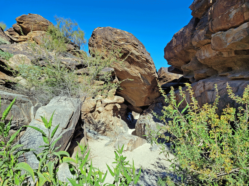

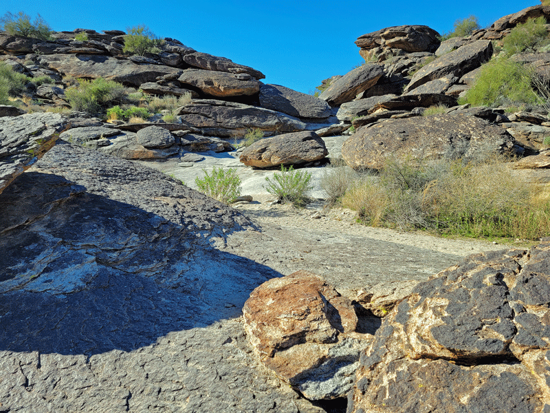

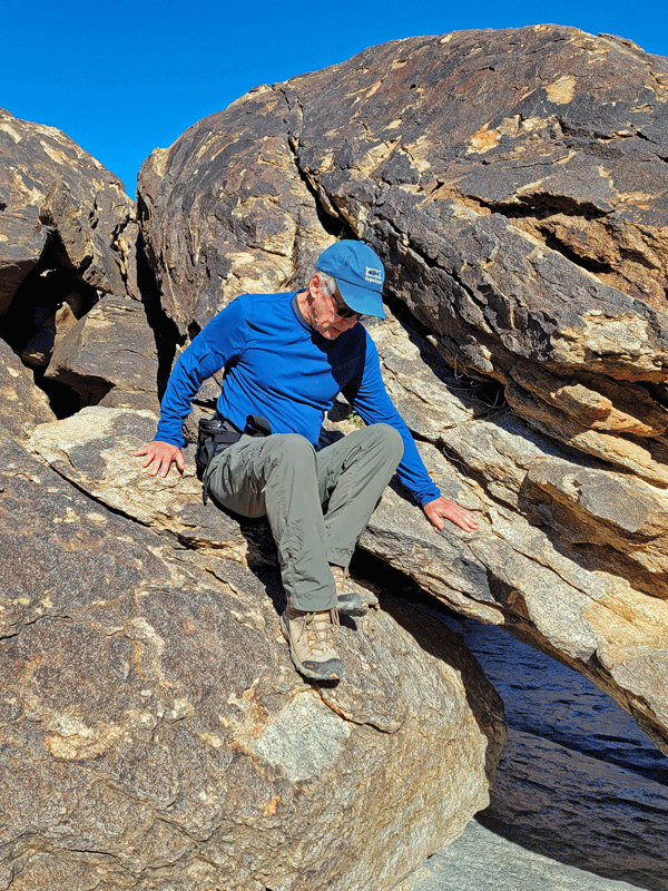
This hike turned out to be my favorite, even though (or maybe because?) we kept losing the trail and had to make our way up and over big rock obstacles.
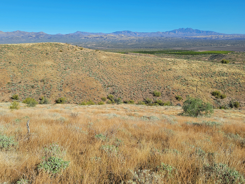
Phoenix Sonoran Preserve
About half the size of South Mountain, this park is the newest in the City of Phoenix portfolio. With 36 miles of trails, it’s easy to take a wrong turn. I intended to do the Dixie Mountain Loop but somehow ended up on a different trail. Oh well – it happens, and I was fine with that.

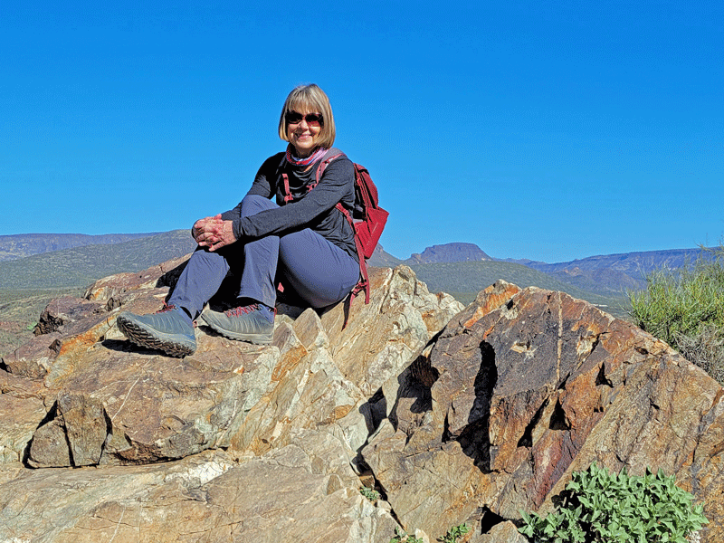
Camelback Mountain
This is the big one – literally. It’s the highest and most iconic peak in the Phoenix area.
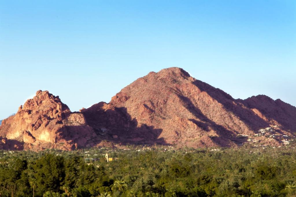
The City of Phoenix set the mountain aside in 1968 for open space as development began creeping up the sides. There are only two trails, and both are rated as strenuous. Short but steep – 1,400′ elevation gain in less than 1.5 miles.
We passed.
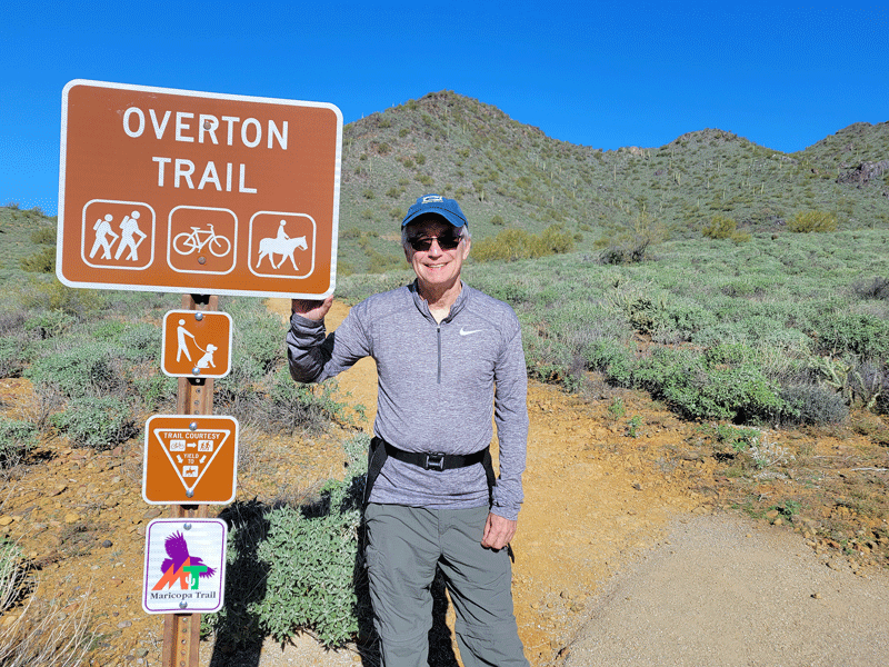
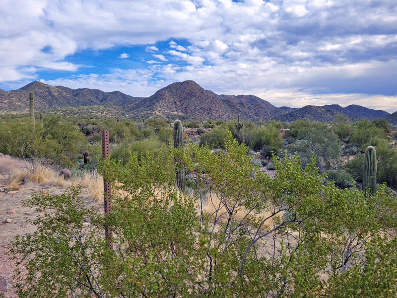
Cave Creek Regional Park
Maricopa County owns and operates ten regional parks totaling over 120,000 acres of open space. We visited two.
Cave Creek Regional Park opened in 1963. It consists of 2,922 acres and just 11 miles of trails. Located on the outskirts of the Phoenix metro area, it seemed the most remote of all the places we hiked. We loved doing the Overton Loop Trail, about 4 miles.
The hillsides were green and lush, with just a hint of color emerging from blooming plants. Lovely, expansive views.


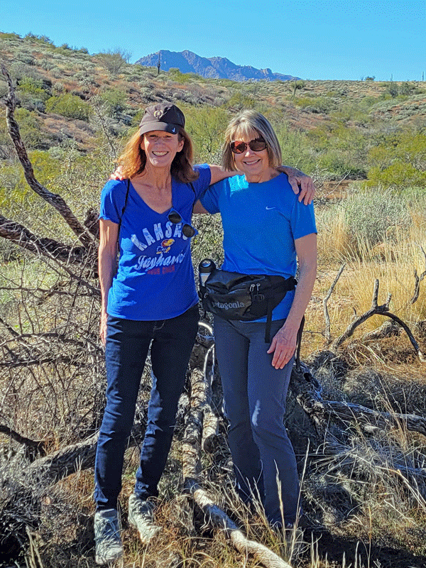
McDowell Mountain Regional Park
Also a Maricopa County property, McDowell Mountain Regional Park features 40 miles of trails across 21,000 acres. It was established in 1958.
The best thing about hiking the 4.5 mile Scenic Trail was doing it with my friend Carolyn, who popped in from Las Vegas for a weekend visit.


McDowell Sonoran Preserve
We barely scratched the surface of this 30,000-acre nature reserve, and it was magnificent. Owned by the City of Scottsdale, the park consists of protected desert habitat with a whopping 225 miles of trails. Our introduction was the Lost Dog Wash Trail, which was a little over four miles, including the part where we veered right instead of left and had to backtrack. (It’s a recurring theme.)


As you can see, desert hiking opportunities abound. And there’s more.
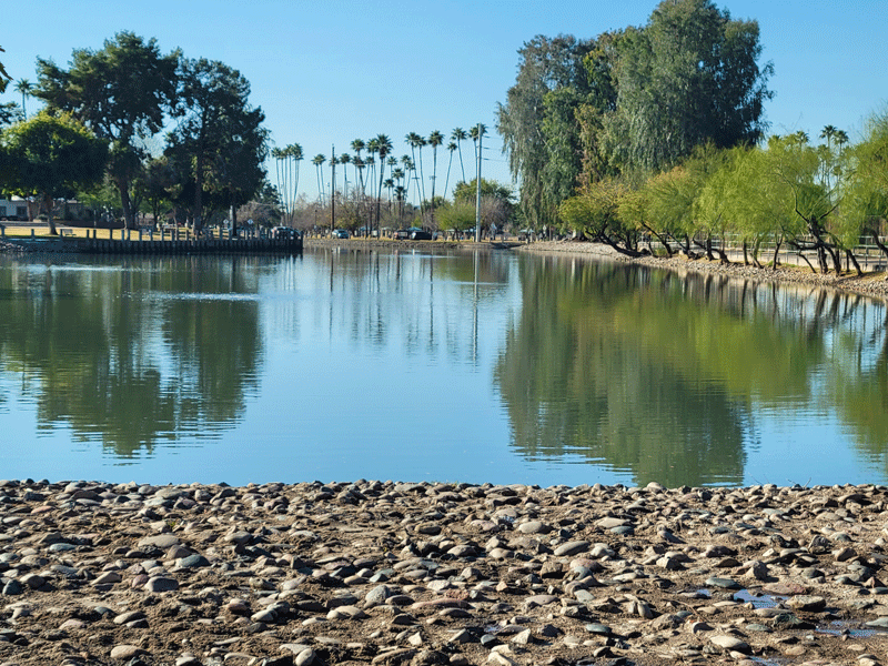
In Scottsdale, our rental apartment was just 1/2 block from a multi-use path and greenway that extends 11 miles through town, connecting pedestrians and cyclists with parks and golf courses. It’s heavily utilized.


So after a most enjoyable three weeks in Scottsdale, we were ready to move on.
Next stop – Tucson. For a month!
Discover more from Just Passing Through
Subscribe to get the latest posts sent to your email.


