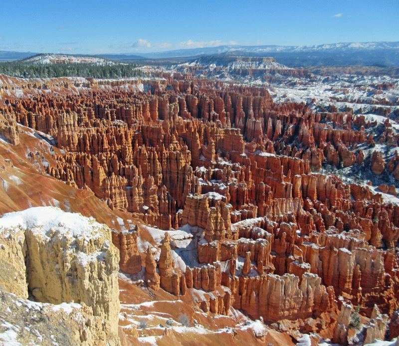
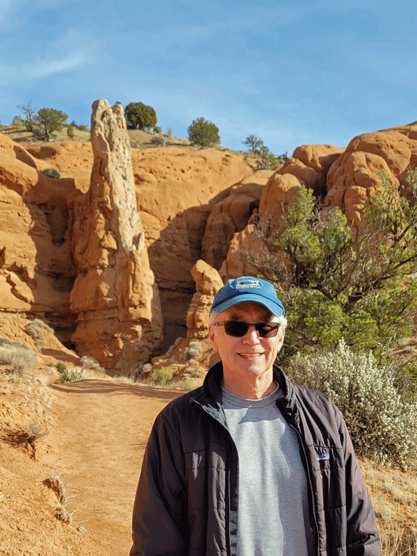
Of the five national parks in Utah, Bryce is the smallest (1/10 the size of Canyonlands) and highest (elevation ranges from 8,000-9,000 feet). And it packs a punch. Hoodoos on steroids.
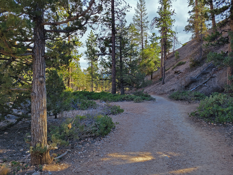
There’s a lot to show you in Bryce, but first, let’s back up a little. In the previous article about Boulder (Utah), I did a short show-and-tell on Scenic Byway 12, which stretches 123 miles from US highway 89 on one end through Boulder to Torrey on the other.
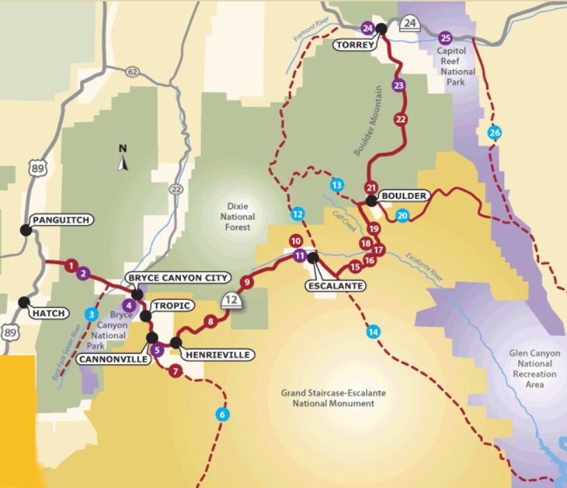
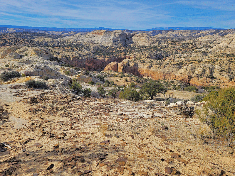
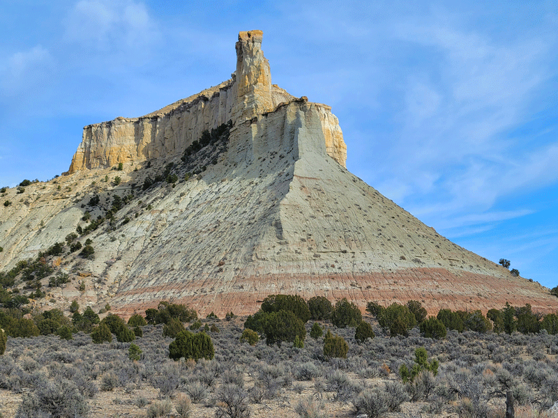
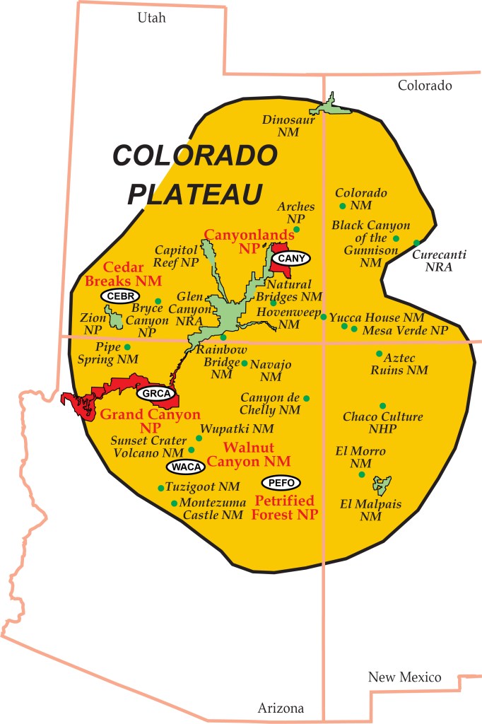
Getting to Bryce from Boulder meant backtracking on highway 12. Not a problem, since a) it looks a little different going the other way, b) the weather was better this time – sunnier and warmer, and c) killer views no matter what!
Here are a few highlights from highway 12 the second time around (click on any photo to view larger images):
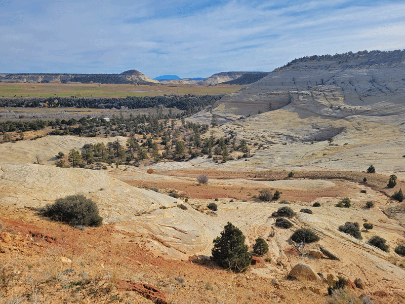

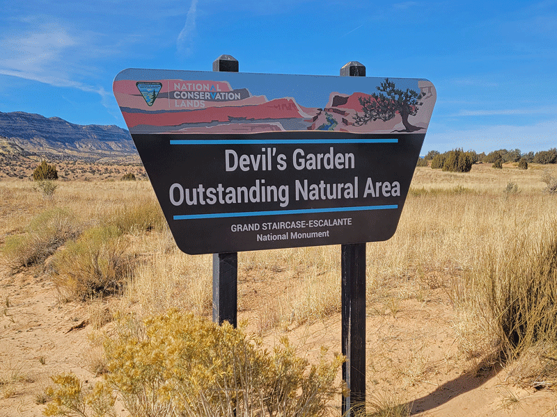
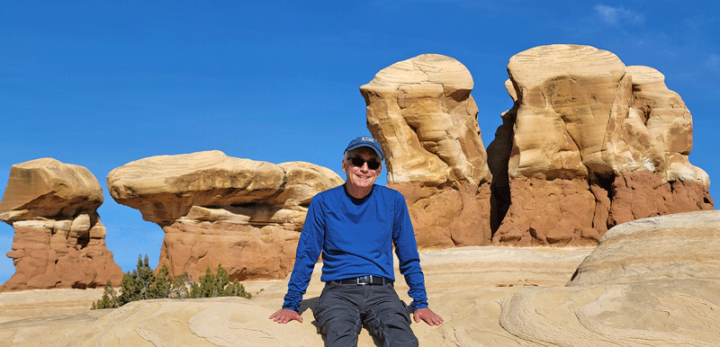
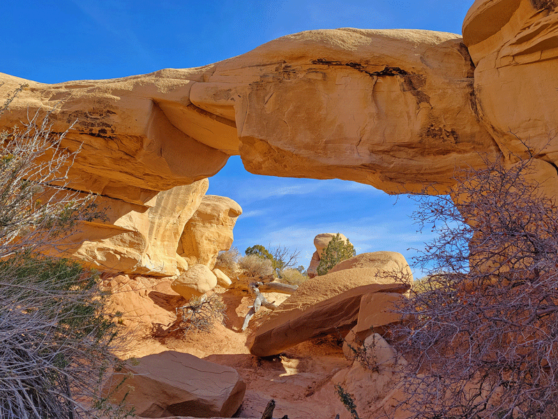
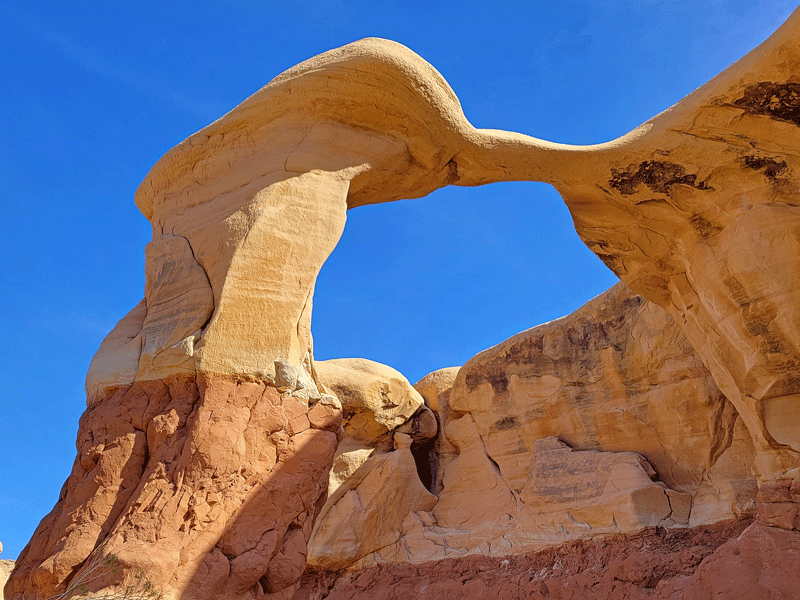
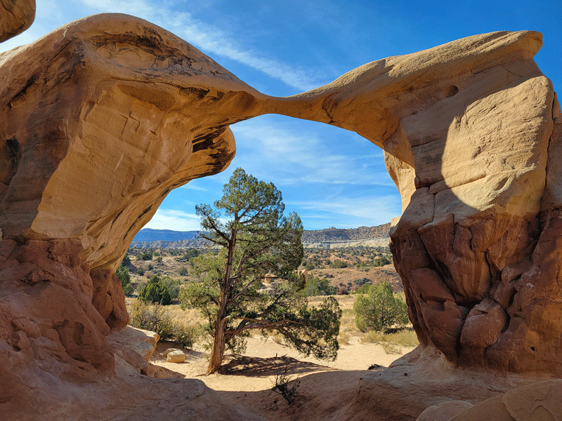
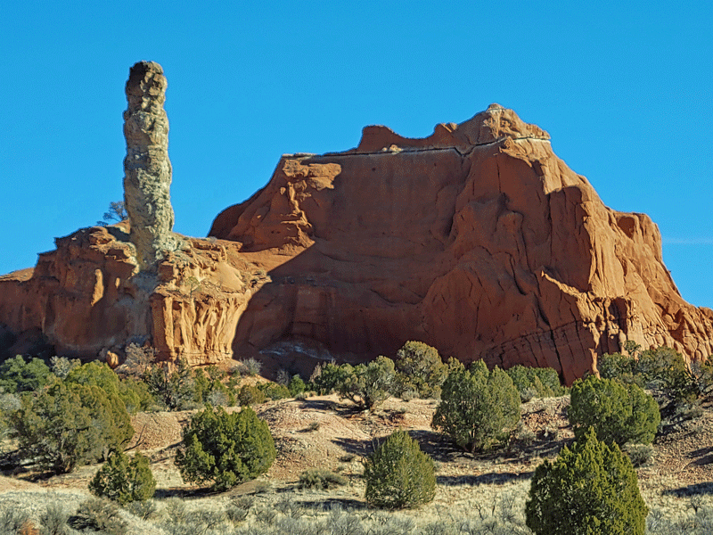
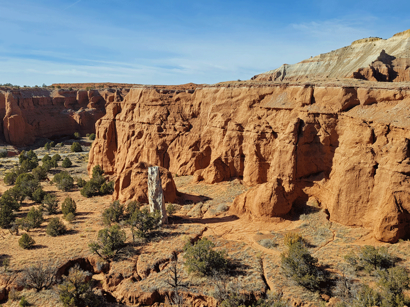
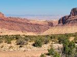
We meandered off the highway on a perfect fall day to stretch our legs and eat lunch at the Devil’s Garden in the Grand Staircase. We got a kick out of the sign, wondering about the criteria that elevates a natural area from “pretty good” to “outstanding.”
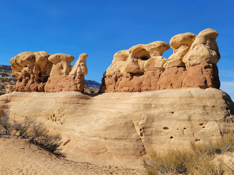
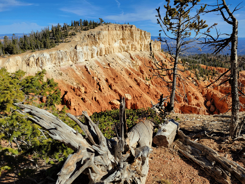
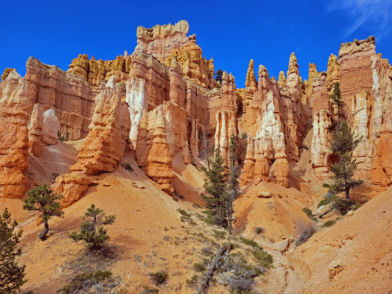
Plenty of hoodoos to explore, and these looked a little different than previous hoodoos.

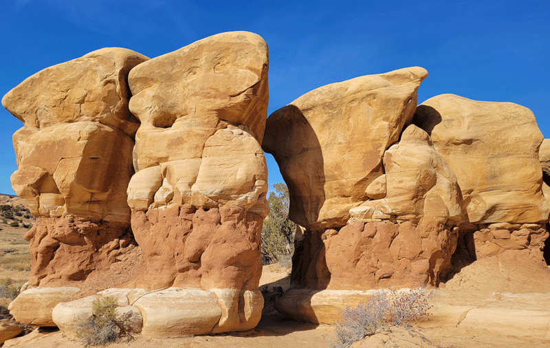
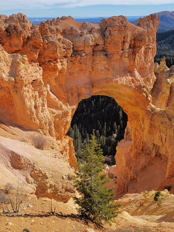
Devil’s Garden also had two cool arches tucked away among the hoodoos.

And then onward . . .
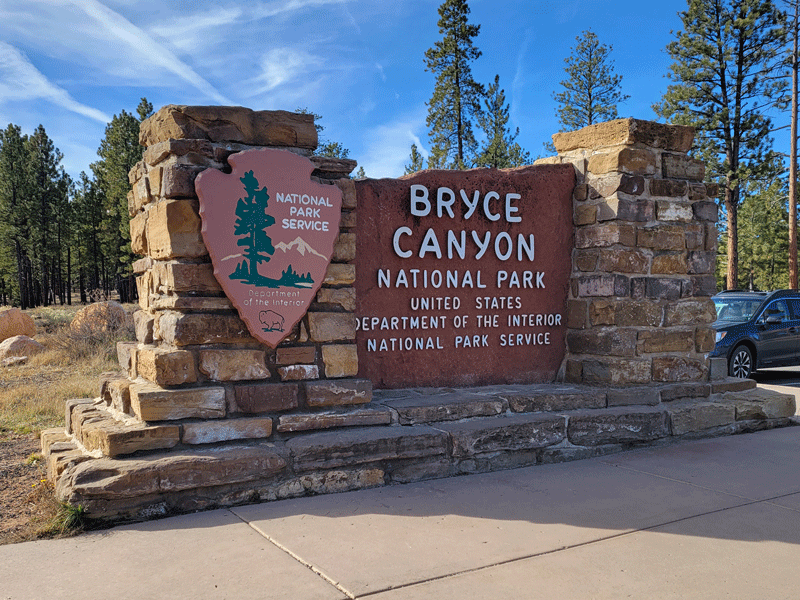
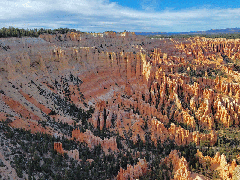
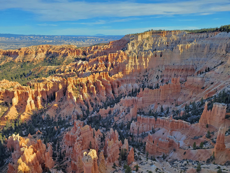
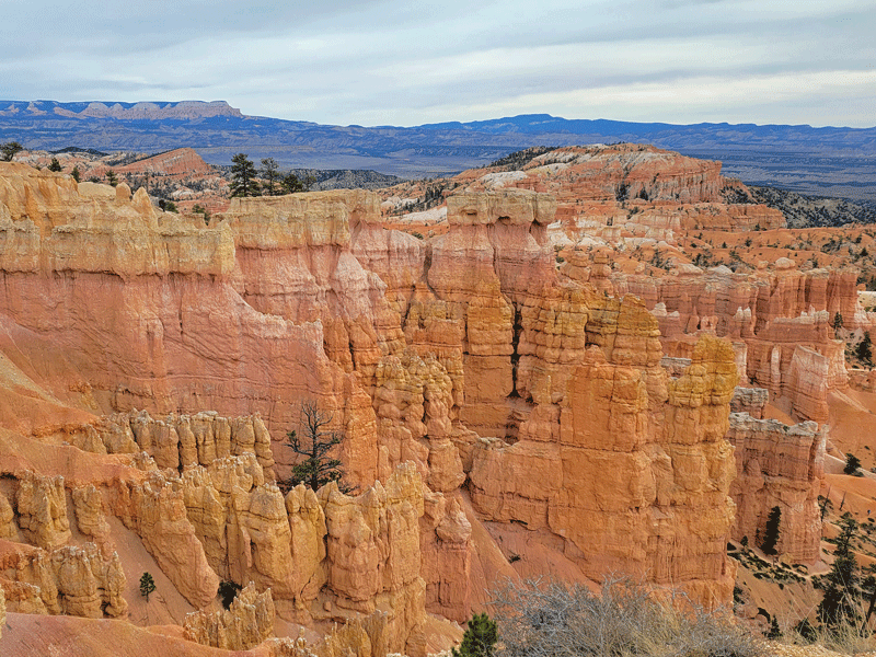
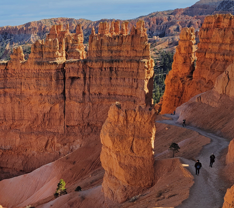
Bryce Canyon National Park
. . . which kept us busy for two days.
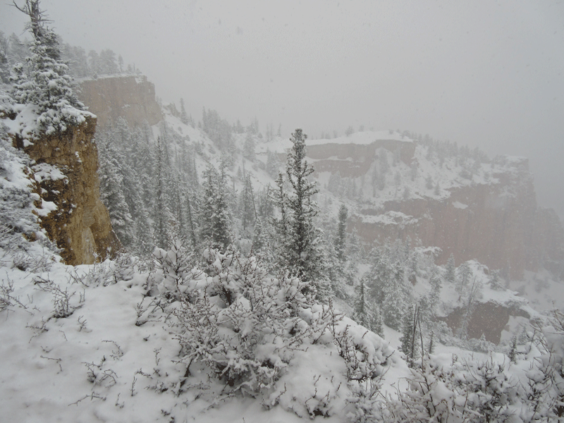
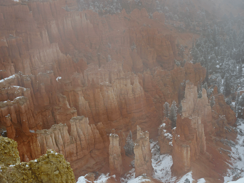
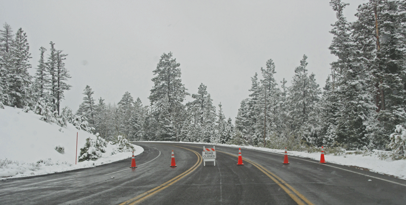
We collided with an impressive April snowstorm on our only previous visit to Bryce several years ago, which made for interesting sights . . .
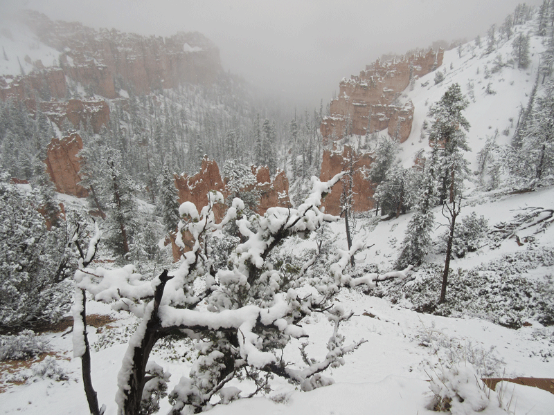
. . . but also obscured many views . . .
. . . until we eventually encountered a ‘Road Closed’ sign.
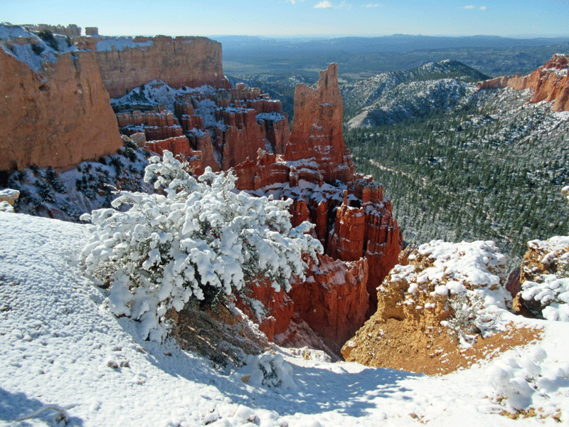
Once the skies cleared, however, it was glorious, and at that point, we knew we had to return.
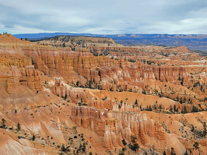
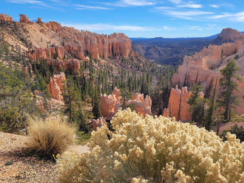
On this trip, we wanted to see it all, of course, which was impossible, of course. First, we hiked the Bristlecone Loop Trail . . .

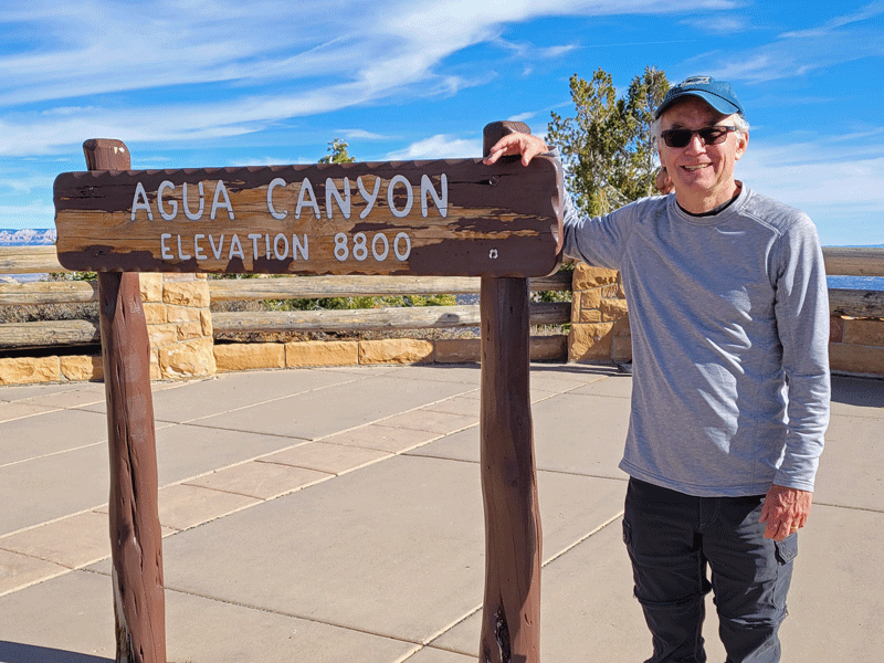
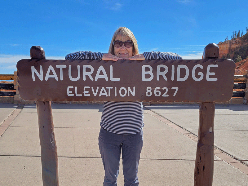
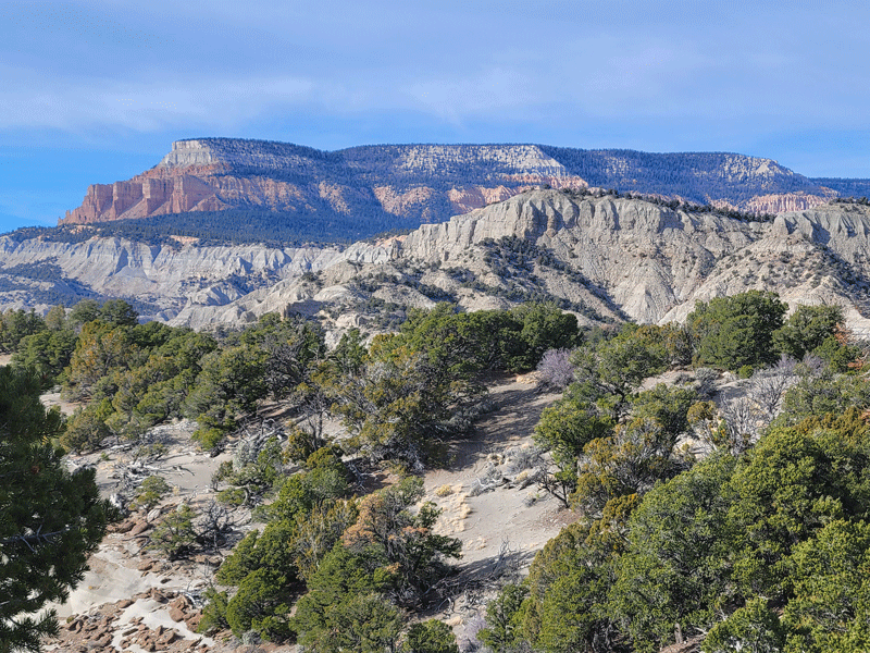
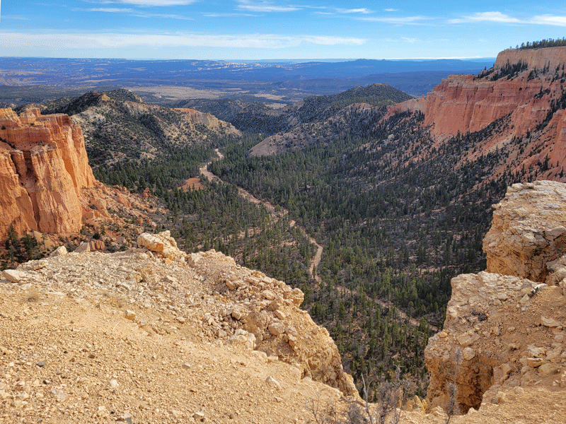
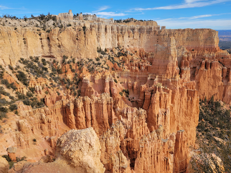
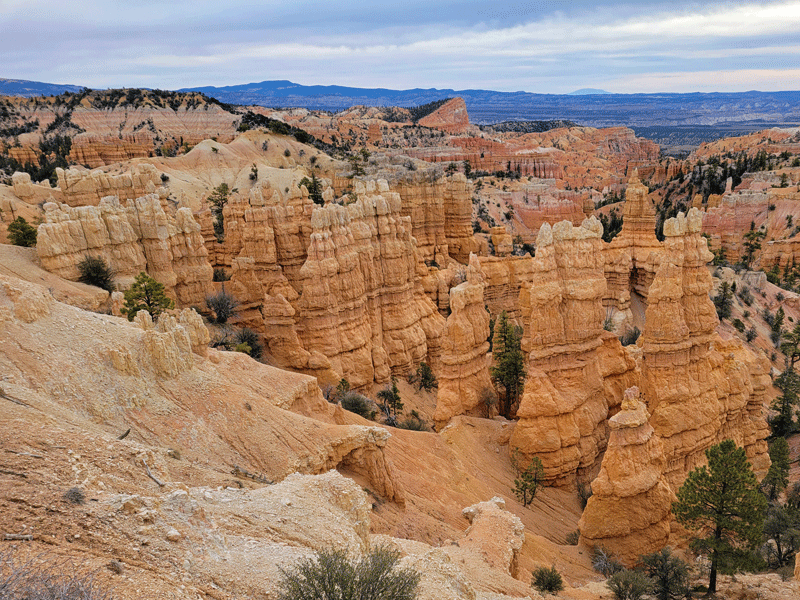
. . . and spent the rest of day 1 at scenic overlooks along the main road. Each offered something a little different.
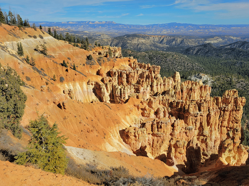

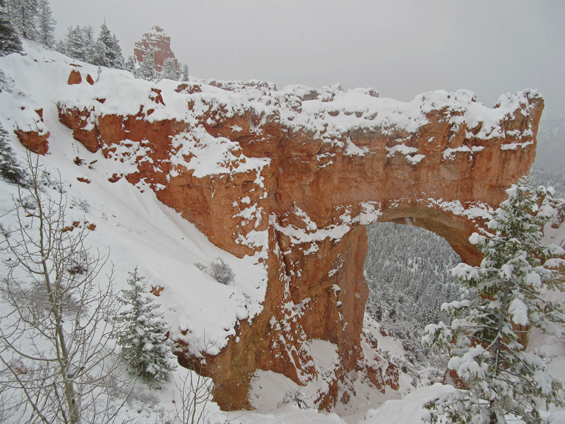
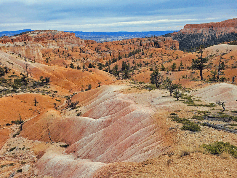
Natural Bridge was outstanding:
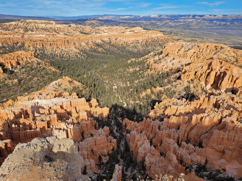


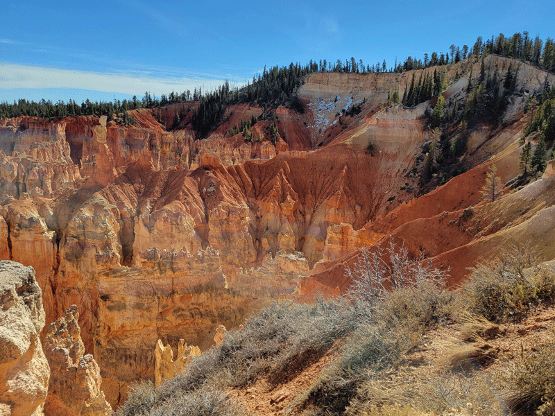
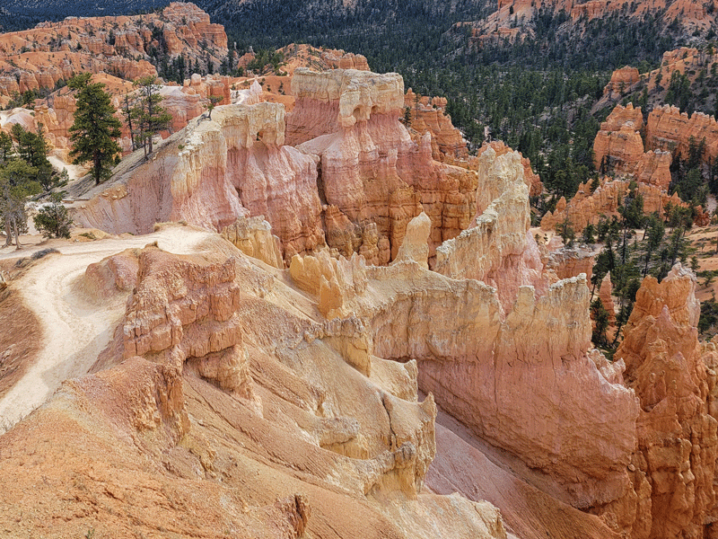
We returned on day 2 for one additional scenic overlook at Fairyland Canyon . . .
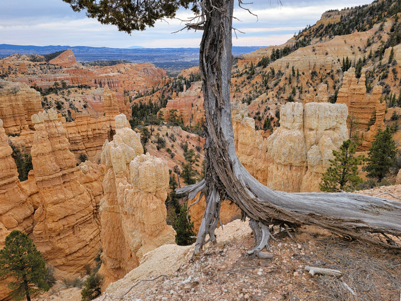
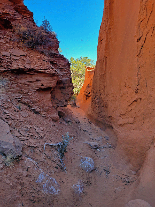
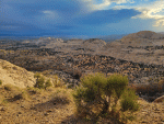
. . . and to experience the most popular hike in the park – the Queen’s Garden/Navajo Loop combo. This trail descends from canyon rim to floor, which is a good way to experience the hoodoos from above and below, as well as up close.


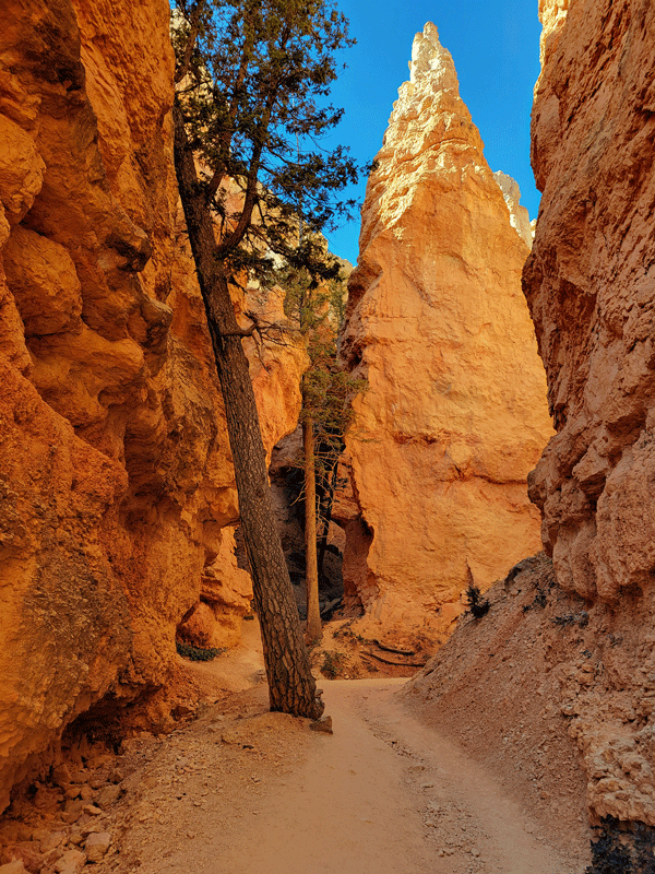
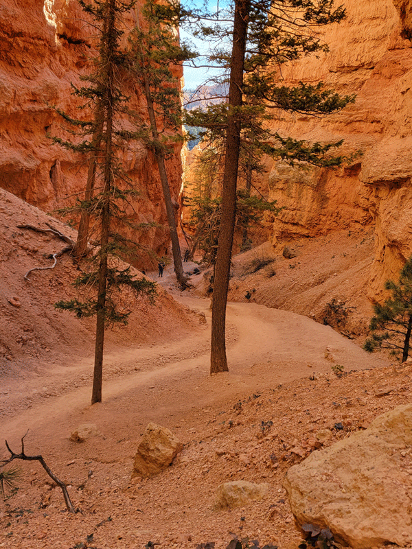
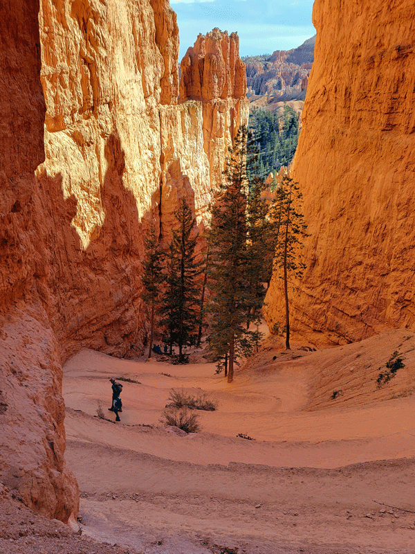
Of all the places we have visited in Utah, Bryce was a top 3 for both of us – highly recommended!
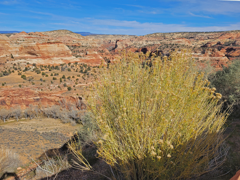
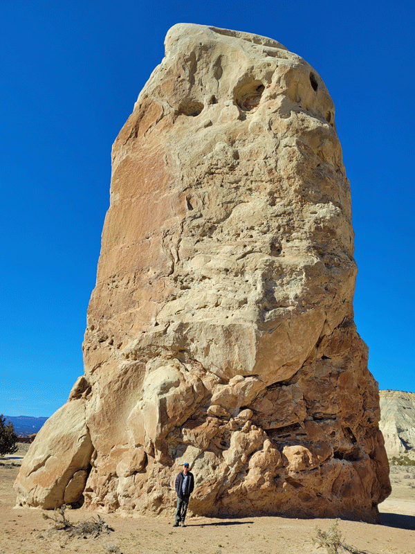
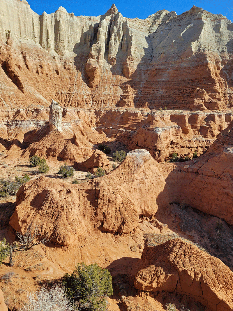
Kodachrome Basin State Park
Located just twenty short miles from Bryce, Kodachrome Basin sees about 90% fewer visitors.
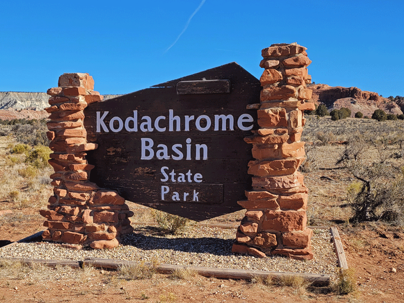
In 1948, a National Geographic team of explorers likened the landscape to the vibrant color capabilities of the new Kodachrome film, thus the name.
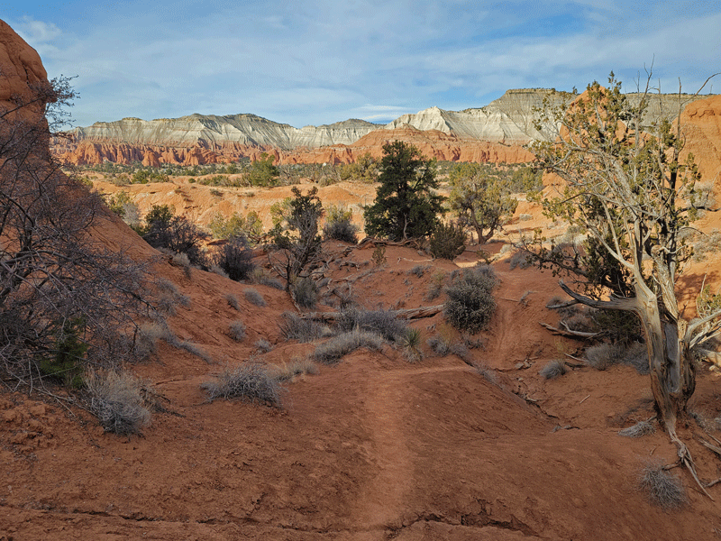
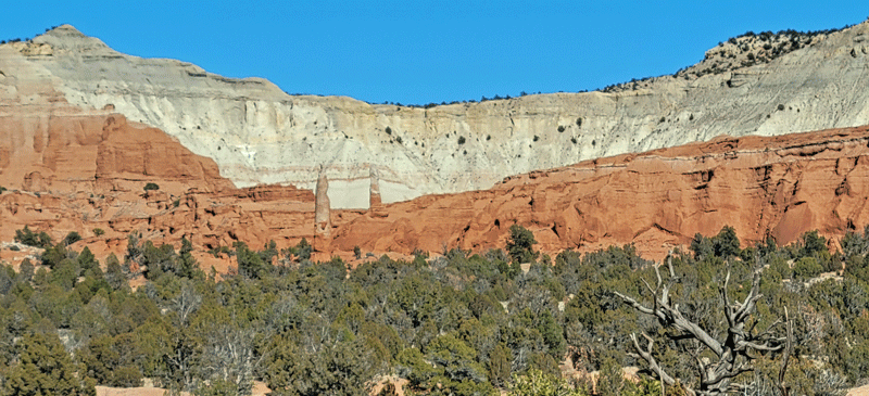

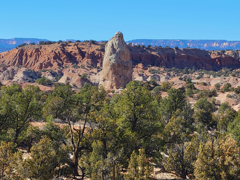
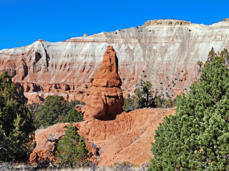
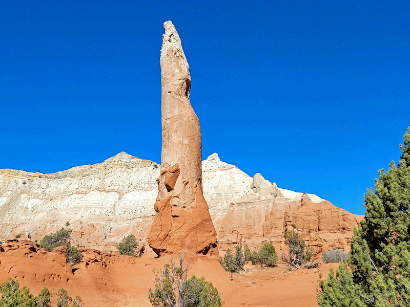
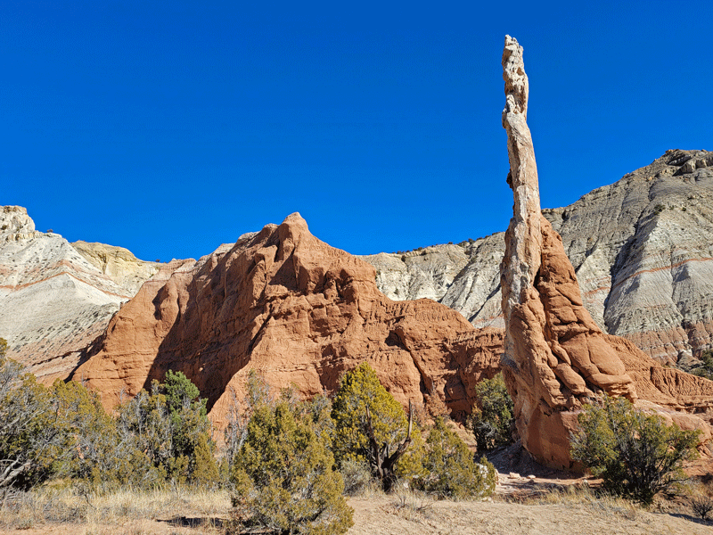
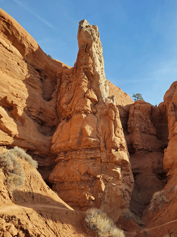
The defining feature of the park is 67 sandstone chimneys, or spires, ranging from six to 170 feet in height. And although scientists have several theories about their origin, no one really knows how they came to be.
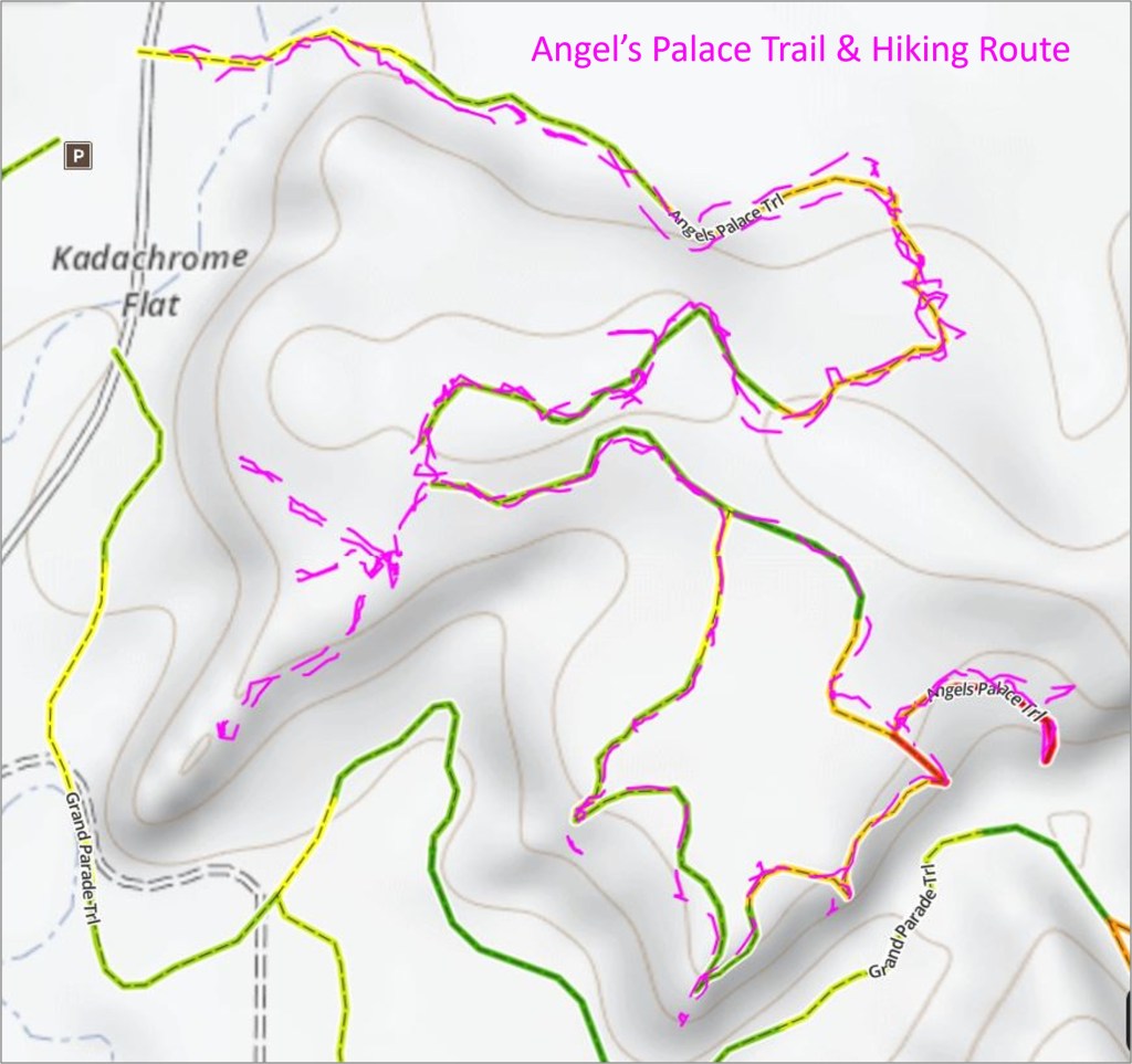
After several weeks of trying to follow poorly marked hiking trails across southern Utah, I started using the OnX Backcountry app on my phone to help with real time navigation – a most helpful decision.
The example below shows our actual hiking route (in purple) superimposed over the Angel’s Palace Trail map. In this instance, deviations from the trail were (mostly) intentional.
Kodachrome Basin likely wouldn’t be a stand alone destination (although the campgrounds in the park looked exceptionally nice), but it’s a terrific add-on to Bryce Canyon if you have an extra day or two to explore.
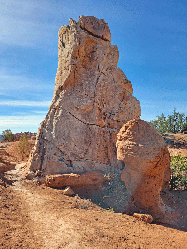
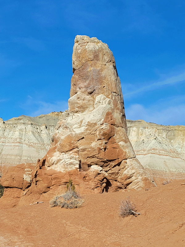
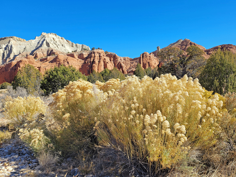
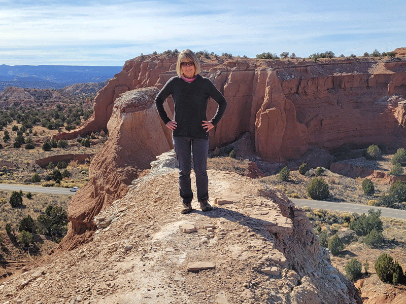
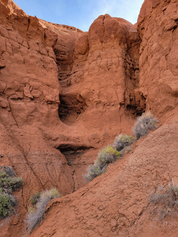
A few more photos from our hikes in Kodachrome:


Travel Notes about Tropic
Located just 11 miles from Bryce Canyon NP Visitor Center, Tropic is a small town with friendly residents and a comfortable, welcoming place to stay called Happy Trails B&B. Triton, on-site proprietor, was super helpful and fun to talk with in the mornings as he prepared a delicious hot breakfast for guests.

If you’re looking for excellent and reasonably priced lodging in the Bryce area, check out Happy Trails. You can find them on Airbnb or Booking.com.
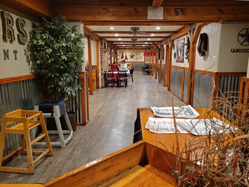
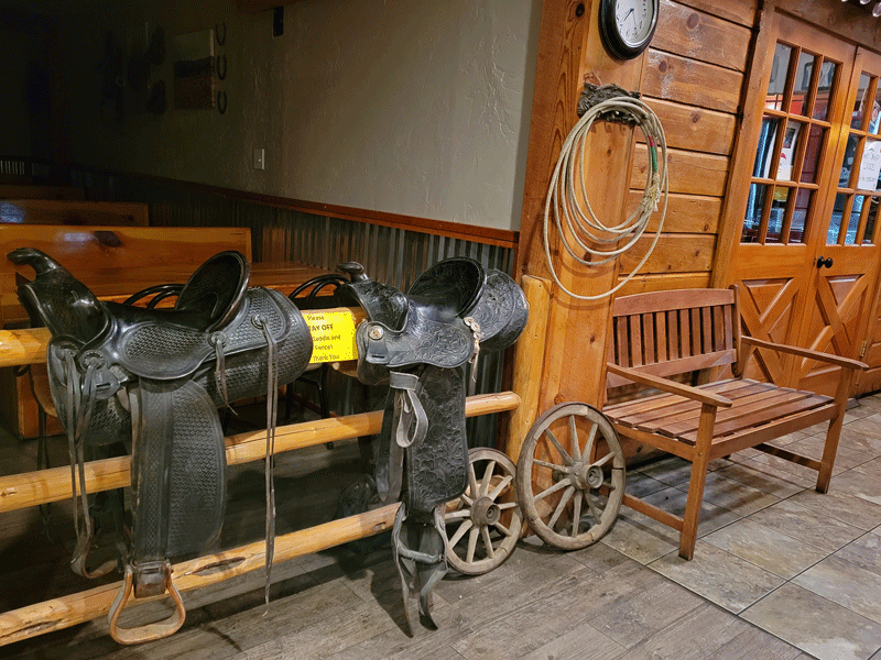
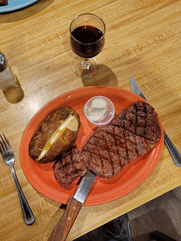
I celebrated my birthday during our stay in Tropic with a night out at Rustler’s Restaurant, which also happened to be the only sit-down dining open at the time. The steak was delicious, with plenty of leftovers for a hearty dinner the next evening.
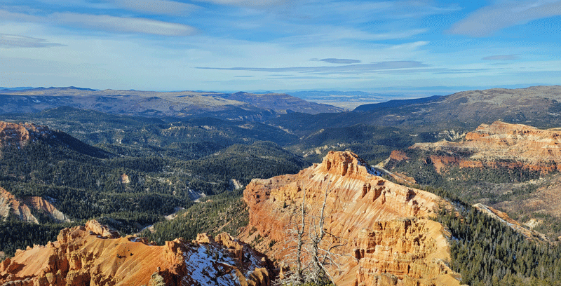
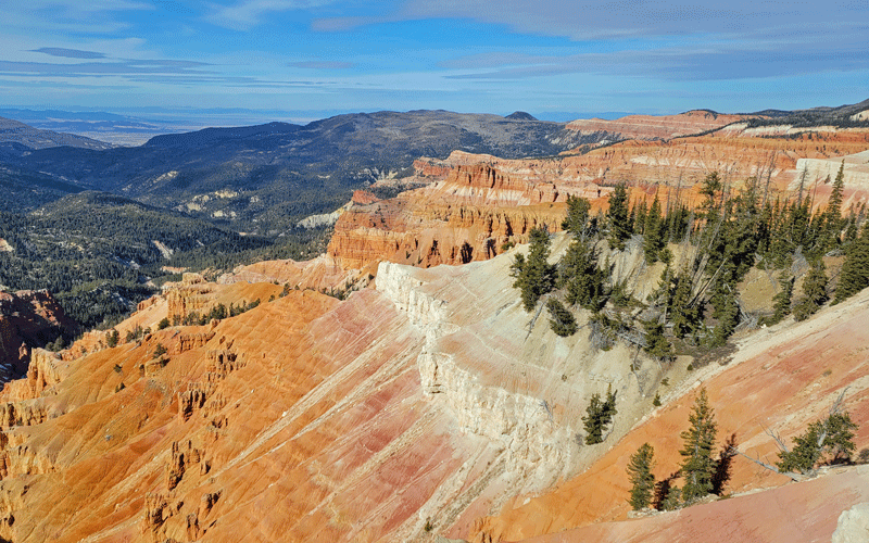
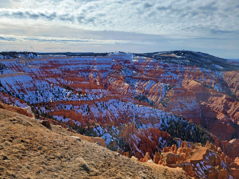
Tropic was our final overnight stop in Utah before heading to Las Vegas. On the way, we detoured through Cedar Breaks National Monument for a few quick photos. Way too cold and blustery for even a short hike, but the viewpoints were stunning. A future visit perhaps?

Our 2021 tour of the Colorado Plateau was over. We had a great time! Here’s a quick “by the numbers” recap:
- 49 days
- 3,593 road miles (808 if driving direct from our house to Vegas)
- FIVE national parks (SIX if you count the 20 minutes we were technically within the boundaries of Grand Canyon NP 😎)
- SEVEN national monuments
- SIX Utah state parks
- TWO Navajo Nation tribal parks
- ONE national conservation area
- ONE national recreation area
- Multiple national and state-designated scenic byways
- 3,601 photos
- EIGHT blog posts
Plus a plethora of great memories. Thanks for joining us!
Discover more from Just Passing Through
Subscribe to get the latest posts sent to your email.

Oh my, oh my, oh my!!!!! Bryce is magical. My all time favorite… if I didn’t have unfinished business in Zion. The thing about Bryce is no matter how many photos you take, there are no duplicates. Each one is unique even if you only move over 6 inches.
LikeLike
So very true – an amazing place.
LikeLike